©
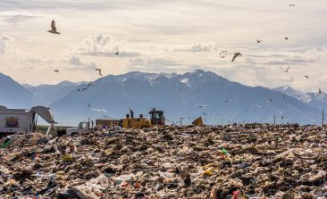
When it comes to protecting the environment and tracking changes in our climate, satellites and drones have become indispensable. If only there wasn’t the issue of all that space debris… In RESET’s latest special feature, we’ve been taking a look at the potentials – and pitfalls – of satellites and drones for a sustainable future on this planet.

Every year, thousands of people drown while fleeing across the Mediterranean. A radar detector should enable sea rescuers to react more quickly. An interview with Peter Lanz.
COP27's new "loss and damage" funding agreement has been hailed as a great success, but was there serious progress towards a green digital transition?
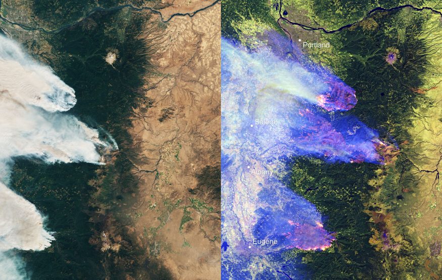
Bloomberg has teamed up with an emissions monitoring organisation to expose the extent of methane leaks across the globe.
Many national governments lack the tools, or will, to accurately assess their reforestation efforts. CTrees is a platform aiming to provide transparency and accountability.
Researchers are exploring ways to monitor underwater human activity by listening to the natural sounds of sea creatures instead of using whale-harming methods like sonar.
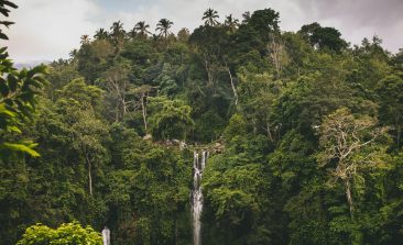
Concrete, aluminium and steel are not the most sustainable building materials - especially in warm, humid climates. A reforestation project now aims to combine the ecological, economic and social components of sustainability in the construction sector.
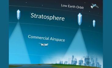
A US startup hopes its 'mircoballoon' platform can provide aerial photography to a new host of users, including charities, farmers and rescuers.
Satellites have long been used to monitor deforestation, but how can that data be used to actively create results on the ground?
Water security is increasingly becoming one of the fundamental issues of the 21st century, especially for states in the dryer and more arid regions of the world. With water forming the basis of all life, some nations are adopting increasingly radical solutions to ensure a fresh supply of water. For example, states such as the