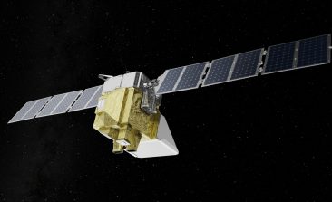
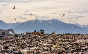
MethaneSAT: A Climate Change Tool That’s Out of This World
Methane is one of the planet's most dangerous greenhouse gases. A new satellite—the size of a washing machine—is set to provide vital data.
Drone Light Shows Could Provide a Green Alternative to Dangerous and Polluting Traditional Fireworks
Fireworks have been causing havoc for humans, wildlife and the planet for centuries. Could drone light shows light the way for a greener alternative?
Meet the Specialised Automated Drone That Can Swab for DNA in the Rainforest Canopies
Biodiversity field research is never straightforward — especially in the rainforest. However, a new automated drone is looking to make things a little easier.
Interview: Can Radar Technology Help Rescue Refugees at Sea?
Every year, thousands of people drown while fleeing across the Mediterranean. A radar detector should enable sea rescuers to react more quickly. An interview with Peter Lanz.
Satellite Technology Expose World’s Methane Leaks at COP27
Bloomberg has teamed up with an emissions monitoring organisation to expose the extent of methane leaks across the globe.
Open Source AI Platform Calculates the Carbon Within Every Individual Tree
Many national governments lack the tools, or will, to accurately assess their reforestation efforts. CTrees is a platform aiming to provide transparency and accountability.
Rainforest Alert: Combining Technology With Indigenous Rights to Help Protect the Amazon
Satellites have long been used to monitor deforestation, but how can that data be used to actively create results on the ground?
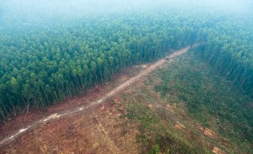
How AI Can Advance Sustainable Logging and Cut Back on Deforestation
Trees are essential to our environment, but they're also a much needed building material. A German team is looking to use AI and data to create more sustainable forestry.
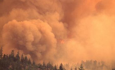
Ororatech: The Orbital Oracle Predicting Forest Fires
Munich-based start-up Ororatech uses nanosatellites to collect and aggregate images to warn of forest fires worldwide.


