If you’ve lived in a city, you’ll know that walking or cycling is often a convenient travel method. You won’t struggle to find parking or have to wait for ride-share services or public transportation. That is, if everything you need is within walking or biking distance.
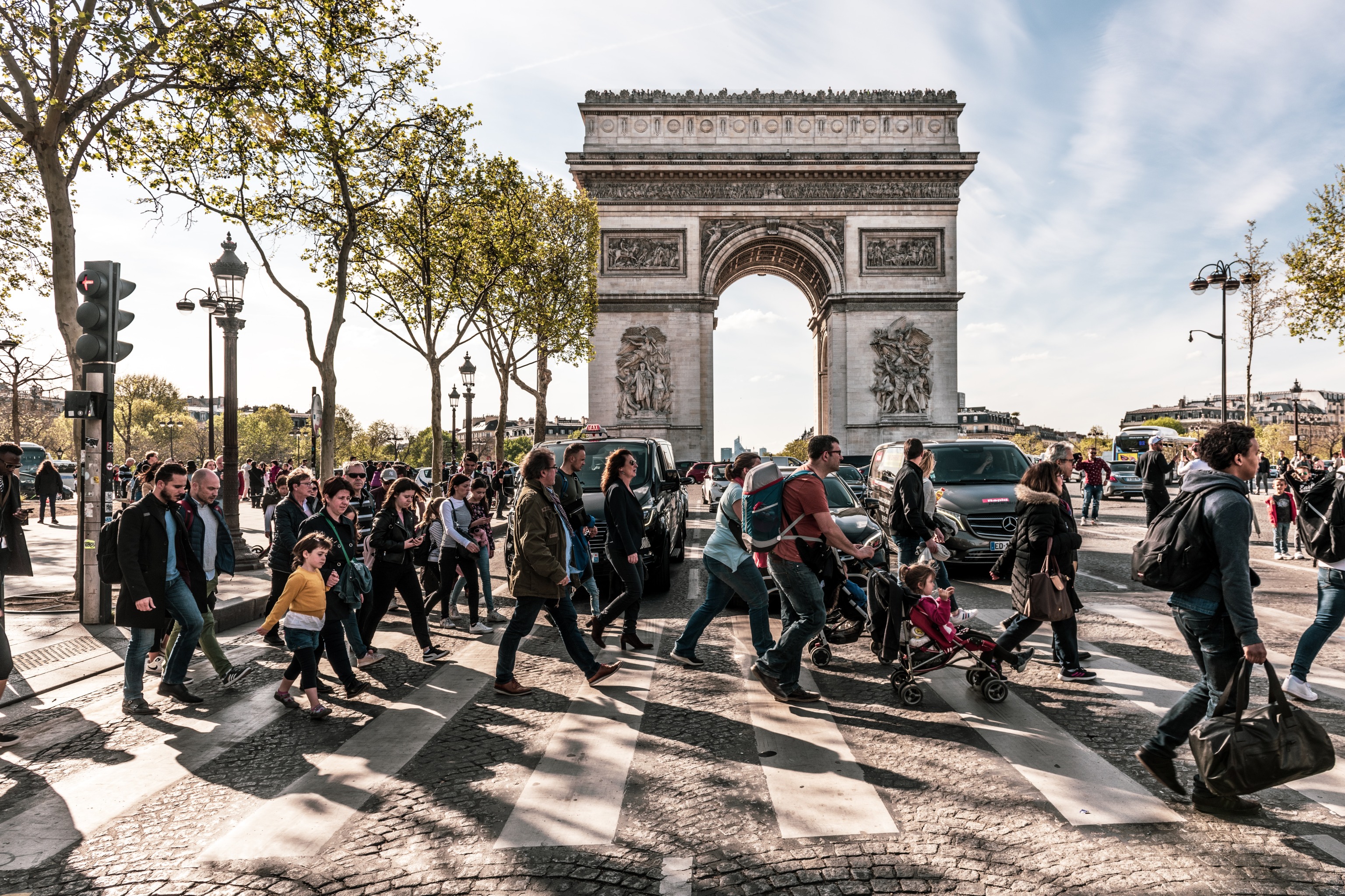
Getting from A to B is a common chagrin of city commuters. Distances that can’t be walked or cycled must be taken by long or indirect routes on public transport, cars that need time, money and patience to be parked, or ride-share apps that can be expensive and unreliable. The idea of the “15-minute city,” introduced by Carlos Moreno of Pantheon Sorbonne University in Paris, proposes that most necessary destinations should be reachable within a 15-minute walk or bike ride.
This straightforward concept emphasizes four crucial elements:
- Proximity: Goods and services should be located nearby
- Diversity: There should be a mix of different land uses in the area, offering a wide range of urban amenities
- Density: There should be a sufficient population to support a variety of businesses within a compact land area
- Ubiquity: These neighbourhoods should be widespread and affordable, making them accessible to anyone who desires to live in them
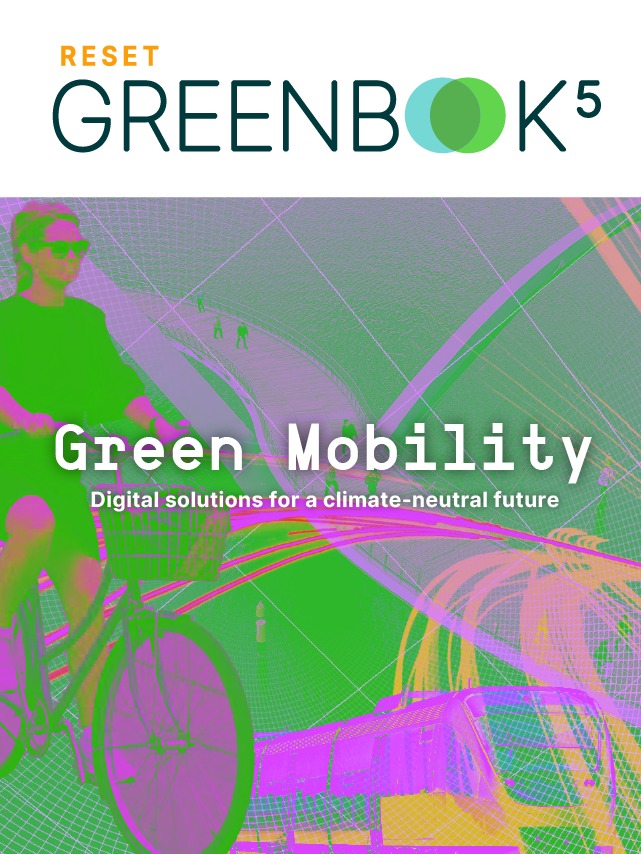
Green Mobility – Digital solutions for a climate-neutral future
Autonomous vehicles, e-mobility, AI-controlled traffic planning, new modes for moving from A to B — what will the mobility of tomorrow look like?
We present the digital solutions being proposed for climate-neutral transport and logistics and discuss the new challenges of “digital mobility” in this dedicated special feature.
A Solid Mobility Concept
At the core of the 15-minute city concept is holistic mobility, a practice-oriented mobility concept that focuses on humans, especially pedestrians and bicycles. The 15-minute city aims to reduce overall vehicular traffic, energy consumption and carbon emissions while improving access to essential services for non-car owners. Walking or cycling in conjunction with public transport reduces energy consumption, while simultaneously boosting convenience, air quality and public health more generally. The benefits are crystal clear, which is why cities like Barcelona, Vienna and Berlin are already implementing this idea.
The Superblock Concept in Barcelona
Barcelona’s Superblock concept is one of the most referenced 15-minute city plans. It emphasizes human scale in its planning by transforming a third of its streets into pedestrian-oriented, traffic-calmed green streets, with additional greenery as well as areas for social interaction, play and leisure. It aims to pave the way for more climate-adapted, healthy and resilient cities all over the world. By reallocating street space, the city tries to ensure better livability for residents while improving sustainability.

Austrian project TuneOurBlock aims to provide practical steps for taking the Superblock concept internationally. The project explores new strategies for involving diverse stakeholders and provides practical steps for implementation, which are then tested and validated throughout Europe. With that, they are able to provide recommendations and insights to policymakers, municipal administrations, academia, the private sector and civil society.
Digital Tools as Part of the Concept
Although digitalisation was not initially one of the core principles of the 15-minute city, the capabilities provided by smart solutions during the pandemic have shown the need for incorporating smart city technologies into the framework.
As a small but important part of a mobility concept, tools, such as ride-sharing apps and bike-sharing services, can improve accessibility to different parts of the city. A bike-friendly city and additional services like cargo-bike sharing can help turn medium-length distances into a 15-minute bike ride.
On a more systemic level, technologies like the internet of things, and Geographic Information Systems (GIS) provide planners with access to real-time information, encourage more active participation from citizens in the planning and decision-making of their routes and enable residents to use resources such as water and electricity more efficiently. Win, win, win.
Geographic Information Systems are an important element of sustainable city planning
But, what are they?
A geographic information system (GIS) is a tool that can create, manage, analyze, and map different types of data. GIS merges location data (the places where things are) with various descriptive information (what things are like in those places), creating a foundation for mapping and analysis in scientific and industrial fields. GIS enables users to comprehend patterns, relationships and geographical context. It helps to enhance communication, efficiency and decision-making capabilities, among other benefits.
These features allow city planners and decision-makers to evaluate pedestrian accessibility to neighborhood services and improve cityplanning.
Measuring Problem Areas
Before a city can make any improvements, they first have to know exactly what’s going on. It is often a challenge for those involved in mobility and transportation to determine a location’s access to sustainable mobility and to identify improvement areas. Decision-makers often struggle because data is spread out across different places.
An example: There are different places where you can find information about walking or biking in a certain area. There are also places where you can find information about how good public transportation is or where you can find ride-sharing services. But, the problem is that this information is spread out. Plus, sometimes the information is not the same across all the different sources, so it’s tough to compare and standardise.
Project “NaMix” aims to create a standardised index for sustainable mobility in various locations by integrating existing data and previous research. They look at factors such as the bicycle-friendliness of a neighbourhood, travel time to the city centre, or the number of nearby supermarkets. They aim to create a score that goes from 0 to 100 or is divided into categories from A to G (like energy ratings). Not only that, but they’ll come up with a way to calculate this score and use a case study in Munich to then apply it to different areas. Lastly, the project will identify opportunities for utilizing the index.
In other countries, data is more publicly available, allowing for more detailed maps. Singapore-based company Digital Blue Foam, for example, proposes to use its digitally enabled neighbourhood-scoring system to automatically measure the quality of an area based on geolocation. Data is based on various web-based APIs including social media, digital maps and weather stations. The platform allows users to navigate an environment, search specific locations or investigate and rate a specific area.
As the Open-Data movement is gaining traction in Europe, the necessary data will be more widely available, opening up opportunities for companies like “Digital Blue Foam” to expand, and new initiatives to be born.
Mapping and Planning Tools
After measuring the status quo, there need to be new ways of planning the urban spaces of the future. A project in Germany is working on creating a digital planning tool for just this. “GOAT 3.0”. The tool aims to integrate accessibility information and allow its users to simulate different mobility scenarios, to then choose the best one. The innovation lies in the web interface’s ability to combine a lot of information about transportation and places to go, such as educational facilities and green spaces.
Innovative approaches that use algorithms and artificial intelligence to refine data are also being developed. Soon, GOAT 3.0 will be a fully comprehensive and interactive accessibility tool that facilitates efficient and effective planning, design and evaluation of tomorrow’s mobility and spaces through a simple user interface. To make sure that the project works well and meets people’s needs, the team plans to test the interface on real transportation issues. In workshops, they gather feedback to identify possible product improvements.
It’s projects like these that will digitally enable city planners to integrate the 15-minute city concept into their planning.
15-Minute Deliveries
If you can’t walk to the shops, let them come to you. With that idea, there has been an unprecedented surge in grocery delivery companies offering 10 to 15-minute delivery. While these services might also aim to increase accessibility to goods and services, they won’t improve street life and community engagement. It remains unclear whether they complement or detract from the 15-minute city concept, but they do clearly show the need for more timely accessible services.
Fast and ultra-fast grocery delivery companies are taking over traditional markets worldwide, but many cities are looking into regulating them. Barcelona plans to address increased emissions by promoting distribution and collection spaces outside public areas, encouraging low/zero-emission delivery fleets, and limiting their distribution centers in inner city areas. Buenos Aires is mandating safety measures for food delivery workers and investing in creating sustainable neighborhoods instead of anticipating ultra-fast delivery companies.
Challenges and Limitations
Despite the benefits that smart city initiatives offer, it’s important to acknowledge that the concept has received significant criticism. The collection, storage, analysis, management, and control of data raises privacy concerns. These are mainly brought up by the idea of private entities handling urban data. They highlight the risks associated with personal data privacy and security, as well as the potential for such data to be monetized by profit-oriented entities.
To address these concerns, it’s crucial to empower local governments, especially as the 15-minute city concept gains traction and generates large private datasets. By ensuring the safety of this data, urban residents can be encouraged to embrace the concept, opening up opportunities for urban managers to adopt new technologies such as Digital Twins, the Internet of Things, or 6G technology.
Whether it’s through digital solutions or through analogue urban planning, the concept of 15-minute cities is sticking around for a reason. It’s a very straightforward way of connecting convenience with sustainability, making it easier for people to live a healthier and more environmentally friendly lifestyle. Paired with a highly efficient public transport network, it could pave the way for greener city life.