Content to: wildlife conservation
Managing Wildlife-Human Coexistence with Digital Mapping
After a spate of bear attacks in northern Italy, digital maps are being developed to protect the interests of both humans and wildlife.
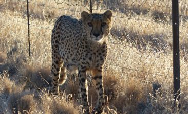
How Collaring Cheetahs Reduced Human-Wildlife Conflict in Namibia
Namibia is home to one of the world's last remaining cheetah populations. But for years, cheetahs have decimated livestock herds, leading to a bloody human-wildlife conflict that further threatened the already vulnerable species. New technology and insights are helping to keep the two sides separated.
Predictive Software Tracks Endangered Bears By Understanding How and When They Move
Tracking Italy's mysterious Marsican bear with radio transmitters poses many challenges. But new software can predict where they with the minimum of data.
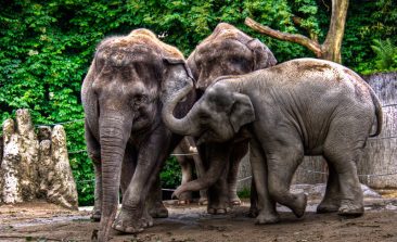
How Satellite Collars for Elephants Are Helping Tanzanian Rangers Get a Technological Edge Over Poachers
A new satellite collaring initiative aims to bolster the dwindling elephant numbers in Tanzania’s national game reserves.
Star Spotting Technology Is Being Brought Back to Earth To Help Save Endangered Species
Technology that was originally developed for finding and identifying stars billions of miles away is now being put to use a little closer to home.
Call for Submissions: UAE Drones for Good Award
Are you active in the area of using drones for sustainable development or have an idea for how drones could address an environmnetal or humanitarian issue? Take part in next year's UAE Drones for Good Award.
Drones and Satellites for Good – Wildlife Watching from Above
Wildlife conservationists are constantly having to up their game to stay two steps ahead of criminal poachers. For a proper bird's eye view, a handful of organisations are looking towards the sky, using satellite technology to help protect species on the ground.
When Tigers “Say Cheese”, They Are Found!
The facial recognition function on our digital cameras doesn’t only detect human faces, it can also be used to track the world’s endangered animals, like tigers! Simply download an app, game it and match a real wild tiger.
Event: RTI for Wildlife Conservation
Veteran conservationist, Biswajit Mohanty, has employed a number of tools in his endeavours to conserve wildlife. In this talk on Sunday, he'll outline perhaps one of the most unlikely of those tools (yet one that has yielded exceptional results): the Right to Information Act (RTI)!
