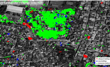
In Austria, the humanitarian organisation Doctors Without Borders has its own remote sensing and geoinformatics unit, which is helping them optimise and streamline their work in crisis regions. We spoke with Lorenz Wendt, who provides the organisation with satellite imagery and tailormade maps.
A new research project is looking into whether there's scientific truth behind a long-held, but as yet untested, belief - that animals are able to sense imminent earthquakes. These new insights might be able to help us predict earthquakes in the future, set up early warning systems and ultimately limit their damage.
Five years ago, the United Nations adopted The 2030 Agenda for Sustainable Development and the 17 Sustainable Development Goals. Could satellites help ensure that those good intentions actually become reality?
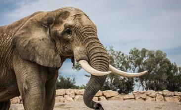
Air Shepherd flies drones to stop poaching. To date, they’ve piloted over 4,000 missions to stop rhino and elephant poachers. In their own words, their work is “reversing the march of extinction”. Here’s how.
Measuring the state of our seas and oceans was traditionally the realm of ships, but now satellites could look beneath the waves in an unprecedented way.
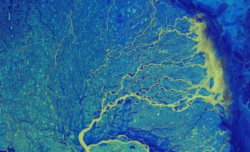
Researchers at the German Aerospace Center are working to make space technologies available for humanitarian aid. The aim of their "Data4Human" project: to provide aid workers with the information they need to make crucial decisions - as quickly and precisely as possible.
Leaks in natural gas pipelines often cause methane to escape undetected into the atmosphere, where it fuels climate change. Bluefield is using satellites and optical sensors to detect these leaks from space.
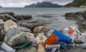
Cleaning up plastic in the ocean requires first spotting it. New research suggests that a combination of AI and satellite technology could make the process easier, cheaper and more effective.
Citizen engagement coupled with technology is helping to usher in a new age of conflict reporting, tracking and mitigating.