
Content to: Satellites
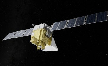
MethaneSAT: A Climate Change Tool That’s Out of This World
Methane is one of the planet's most dangerous greenhouse gases. A new satellite—the size of a washing machine—is set to provide vital data.

GlobeWQ and Lake Victoria: How to Measure Water Quality by Satellite
Modern satellites can help us to monitor water quality in bodies of water. The world's second largest lake shows how this works.
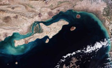
Satellite Technology Expose World’s Methane Leaks at COP27
Bloomberg has teamed up with an emissions monitoring organisation to expose the extent of methane leaks across the globe.

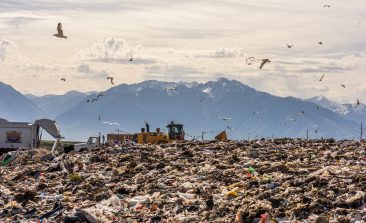
Open Source AI Platform Calculates the Carbon Within Every Individual Tree
Many national governments lack the tools, or will, to accurately assess their reforestation efforts. CTrees is a platform aiming to provide transparency and accountability.
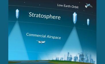
UrbanSky: Can Cheap Balloon-Based Images Help Disaster Relief and Civil Society?
A US startup hopes its 'mircoballoon' platform can provide aerial photography to a new host of users, including charities, farmers and rescuers.

Rainforest Alert: Combining Technology With Indigenous Rights to Help Protect the Amazon
Satellites have long been used to monitor deforestation, but how can that data be used to actively create results on the ground?

Mapbiomas: The Project Tracking 35 Years of Amazonian Deforestation
By utilising Google's powerful Earth Engine, a Brazilian project is efficiently generating the data needed for policymakers to make better decisions about the environment.
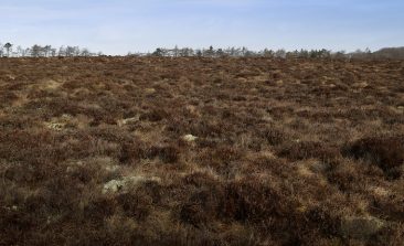
Satellite Photography May Hold the Key to Learning How Scotland’s Precious Peatland ‘Breathes’
Poorly understood peatlands have long been carelessly exploited, releasing their stored up carbon. With the help of satellites and advanced software, researchers now hope to accurately measure their vital signs.
Interview: OpenSpaceData Wants to Democratise Access to Satellite Data
The satellite images made during large ESA and NASA space missions are freely accessible to the general public - in theory at least. But in reality, not everyone can use them. Niklas Jordan wants to change that, with his project OpenSpaceData.