
Content to: Mapping
Mapping Europe’s Renewable Energy Future with the Energy and Industry Geography Lab
The EU's Energy and Industry Geography Lab has created a new way of helping Member States map their renewable energy development. But, can it alone help to reduce carbon emissions?
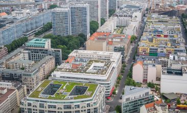
EnergieCheckpoint: Visualising the Energy Efficiency of Berlin’s Public Buildings
By law, Berlin's operator of public buildings is required to report energy consumption data for each individual building. The initiative EnergieCheckpoint visualises the data and seeks to make it actionable.

Predictive Software Tracks Endangered Bears By Understanding How and When They Move
Tracking Italy's mysterious Marsican bear with radio transmitters poses many challenges. But new software can predict where they with the minimum of data.
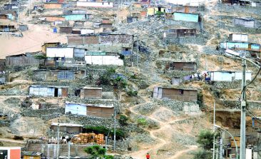
Peruvian Project Uses Drones to Map, Protect and Strengthen Informal Urban Settlements
A Peruvian programme is using drones to help put urban settlements on the map (quite literally), in a bid to improve housing rights and climate change resilience for underserved local residents.
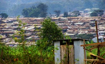
Map Kibera: How Grassroots Mapping Projects are Empowering Slums in Nairobi
Ten years ago, Kibera, Nairobi's largest slum, was just a blank spot on the map. But that's all changed: ever since young local residents created the first ever free and open digital map of their community.

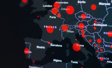
Mapping the Global Illegal Arms and Ammunition Trade
The EU-funded project iTrace maps out supply routes of illegal weapons and ammunition and brings to light data about the global illicit arms trade in an effort to inform effective policy making.

Drones: Propelling Sustainable Development
The word 'drone' often conjures up imagery and associations with warfare due to the heavy use of drones by the military. However, drones, which are often referred to as UAVs – unmanned aerial vehicles, are being used more and more in other ways in society.

Drones and Satellites for Good – Chatting with Drone Adventures
Mapping, data collection, conducting headcounts of animals - drones are being put to use in myriad ways to assist in development and disaster relief. We spoke with the organisation Drone Adventures about the projects they are bringing to life in this field.

Missing Maps 2: Putting the West Africa Ebola Outbreak on the Map
Humanitarian mapping is one of the latest tools to be used to tackle highly contagious diseases like Ebola. Satellite images are being used to document buildings like schools and roads and small towns affected by the virus. The collective data help aid agencies navigate around the area of where the infected populations are and where the disease has spread to.