Content to: drought
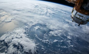
New Satellite Technology constellr Reduces Water Consumption in Agriculture
The constellr satellite system with infrared measuring instrument is intended to help make the irrigation of fields more sustainable.
Tiny, Colourful Particles Offer Hope for Drought-Stricken Crops
Researchers at Cornell University have developed nanoscale sensors that help breeders select water-efficient crops, enhancing their resilience against droughts caused by climate change.
The Steady Drip: How “Smart Water Monitoring” Could Equip Our Water Supply for the Future
Forecasts have been pointing out for years that water scarcity will become a problem. Here's one start-up's smart solution.
Irrigation from Thin Air? A Super Absorbent Gel Could Help World’s Drought-Hit Farmers
A new development from a US university - a gel that can absorb water from humidity in the air, before releasing it back into the soil - could help farmers struggling to cope with the effects of drought.
Digital 3D Soil Maps Help Make Farming More Environmentally Friendly
A young company from Berlin wants to use 3D soil maps to make agriculture lower in emissions and more resource-efficient. Satellite and aerial photographs provide the data. Co-founder Suvrajit Saha explains to RESET in an interview how the soil maps are produced and who is benefitting from this new knowledge.
No Rain? Small Farmers Covered Through Weather-based Insurance
The threat of drought is a constant for most farmers. Often lacking insurance cover altogether, small-hold farmers are particularly at risk from the consequences of a failed crop, which can mean not just reduced income, but also a reduced ability to feed their families and school their children.


