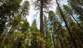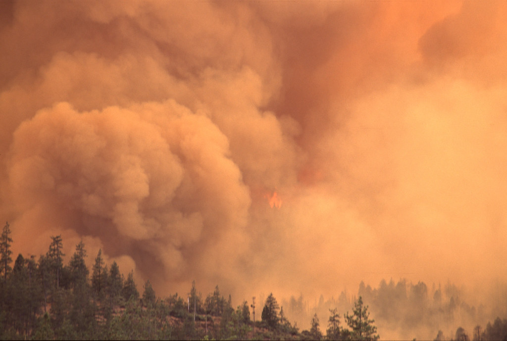
High air temperatures, limited precipitation and extended droughts create the ideal conditions for forest fires – and man-made climate change is exacerbating these factors. In combination with strong winds and a lack of inadequate fire protection, huge forest fires can occur, causing extensive damage not only for humans, but also for wildlife and nature. Most recently, the devastating consequences of forest fires could be seen in Australia in late 2019, early 2020. The bushfires destroyed more than ten million hectares of land, more than 2,500 homes and are estimated to have killed more than one billion animals. In addition, forest fires contribute to an increase in global CO2 emissions.
Until now, areas where there is a high risk of forest fires have been monitored mainly with watchtowers, aircraft or drones. Time and again, however, the warnings come too late and the fire has already spread too far. With thermal images from satellites, a Munich-based start-up Ororatech now wants to offer a faster and cheaper alternative for detecting fire hotspots. Firefighters should thus be informed more quickly and be able to extinguish the fire before the situation escalates. The name – Ororatech – stands for Orbital Oracle Technologies. The satellite data will not only be used to detect fires that have already started, but also to identify and monitor particularly endangered areas, i.e. to predict forest fires.
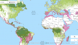
Up-to-date Maps on Wind, Temperature and Fire Risk
Ororatech is financially supported by the European Union, Google for Startups and an ESA funding programme, among others. The startup emerged from a spin-off of the MOVE-II CubeSat project at the Technical University of Munich. As part of the university project, Thomas Grübler, Björn Stoffers (both electrical engineers), computer scientist Florian Mauracher and business economist Rupert Amann had already co-developed bespoke satellites. Following this, they founded Ororatech in 2018. The four founders are now backed by an international team of engineers, software developers and business experts. Currently, Ororatech is being used globally by both government agencies, as well as private users on a subscription basis.
Subscribers to the information service can use various maps to gain an overview of different factors that promote forest fires. In addition to a wind map with visualisations of wind speed and direction, there are maps on temperature and humidity, forest and vegetation, as well as terrain information such as topography. A “fire danger index” will also indicate how high the risk of fire is in a certain area. Depending on the subscription, the fire warnings are then to be sent directly as an e-mail notification.
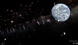
New Use of Nanosatellites
The data basis is the images of several satellites, which are aggregated in real time. The Ororatech team also operates an additional satellite ground station. Hotspots are recognised on the basis of high temperature sources and with the help of various algorithms. Since this year, so-called nanosatellites have also been in use, i.e. particularly small and light satellites, each no larger than 30x10x10 cm³. These were developed by the start-up itself and compared to large satellites, they are cheaper and easier to produce. With their help, larger areas of the Earth’s surface are to be monitored and forest fires detected even faster.
Besides warning of forest fires, the satellite data can also be used for other areas. For example, the satellites can also be used to measure soil evaporation and drought or heat development in cities, as well as industrial activity. This information can be an important tool for research and policy as climate change progresses.
At RESET, we have covered a range of projects that use satellite technology to contribute to environmental protection. For example, the Portuguese start-up Tesselo uses satellite data to help companies use resources more efficiently and sustainably, while satellites can also be a useful tool in monitoring illegal deforestation. The organisation Global Forest Watch provides a wide range of maps and alarm functions for this purpose.
This is a translation by Mark Newton of an original article that first appeared on RESET’s German-language site.