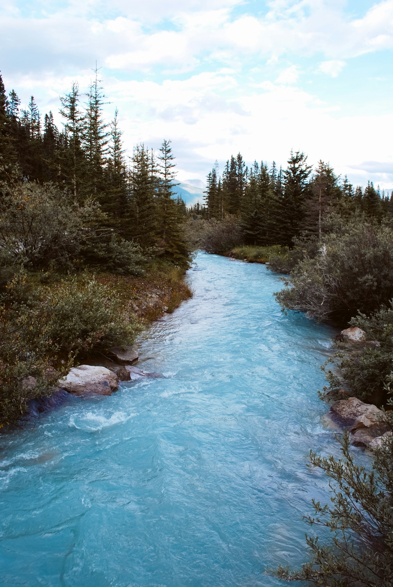
Rivers and bodies of water are the lifelines of our planet. Where they’re not surging through rocky gorges, plants and trees are densely packed along their banks. Entire regions depend on their water levels and entire ecosystems depend on their health. However, all bodies of water face problems. These include pollution from industrial and agricultural wastewater, the loss of biodiversity and the effects of extreme weather events as a result of climate change.
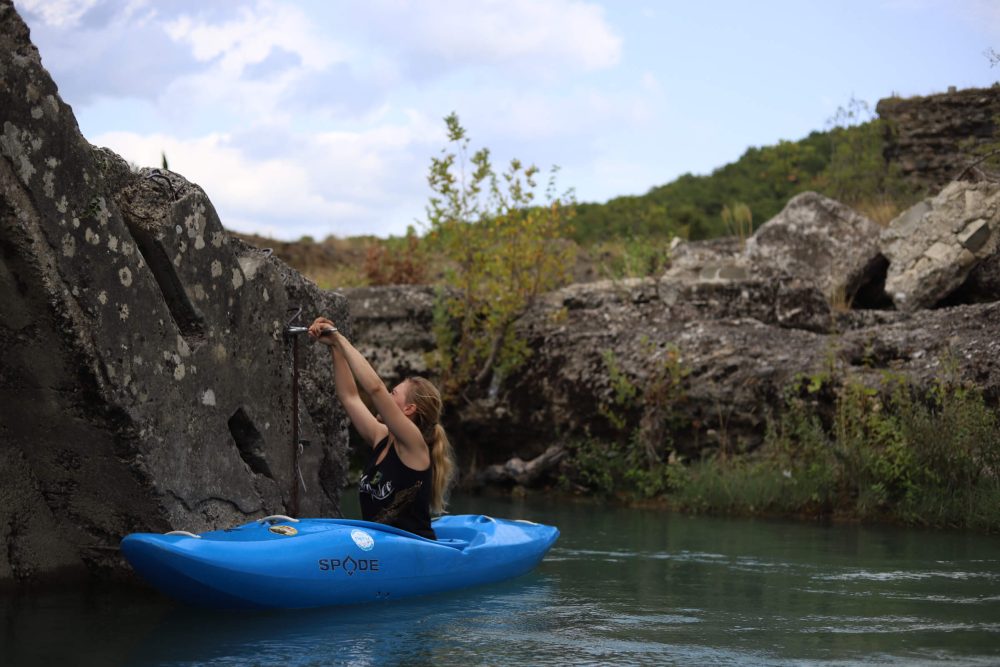
Faced with increasing threats to our rivers, keen kayaker and engineer Jessica Droujko recognised the urgent need for a comprehensive solution. Having the most accurate data possible is essential to learn more about a river’s condition and initiate effective protection measures. But this data isn’t always readily available—a problem which led Droujko to found the start-up Riverkin and develop a special data-collecting sensor. In this interview, she talks about her love of rivers and how the sensor she developed will help to protect our waterways.
Jessica, where does your enthusiasm for rivers come from?
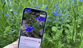
As a whitewater kayaker, I absolutely love rivers. My entire life revolves around them. Every weekend, I meet my best friends and we go kayaking in Switzerland, Austria, Italy or France. I plan all of my holidays around water levels. After a large rain storm, most people see “dirty” water but I see “chocolate” water and then immediately check my water level app.
Many people don’t enjoy spring because of the rain but that’s a kayaker’s favourite season because it’s when we trade our skis for a paddle. I studied mechanical engineering in my Bachelor’s and Master’s but always felt like I wanted to combine my technical skills with my love of rivers and the community around them.
And Riverkin was born out of this love of rivers?
Riverkin was founded out of a deep-rooted passion for preserving and improving rivers and freshwater ecosystems.
I have learnt from several friends who kayak and work in NGOs that there is a significant gap in accessible, real-time data on river health. Critical data on water quality, flow rates and sediment transport is sparse or outdated—most companies use large global datasets and try to downscale them. This hinders effective management and conservation efforts.
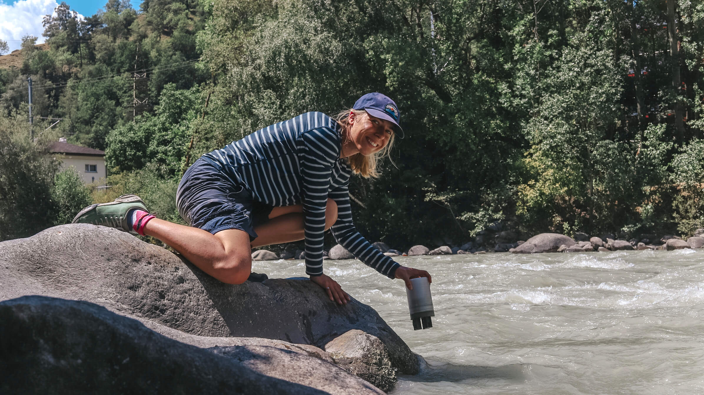
To close this gap, I developed a sensor for measuring water quality during my doctorate at ETH Zurich.
What can the sensor measure?
Our sensors measure water temperature, turbidity (suspended sediments) and water level. These measurements provide a comprehensive picture of the water’s physical characteristics, which are essential for understanding the dynamics of freshwater systems.
The data collected by our sensors is transmitted in real-time to a centralized database. Once the data is received, it undergoes data quality checks. This processing involves filtering out noise, calibrating the data to ensure accuracy and integrating it with other environmental datasets, such as weather patterns and land use information.
The turbidity indicates the health of the river
If the water carries a lot of fine sediment, rivers become turbid. The fine sediments are washed into the water by heavy rainfall, mining or agriculture. However, fine sediments in rivers also have an important function in regulating the balance of nutrients such as phosphorus, nitrogen and silicic acid. The quantity and composition of a river’s sediments therefore tell us a lot about the health of rivers.
Do similar sensors already exist?
Sensors that measure parameters like temperature, water level and turbidity exist. But what sets us apart is twofold. First, we measure suspended sediment concentration (which is usually inferred from turbidity using a calibration equation that requires manual labour). By providing this parameter outright, we eliminate the need to create manual calibration equations and lower the barrier to using our data.
Second, our sensor is part of a broader Water Data Ecosystem (WDE) which includes the data from all of our sensors. One sensor can only provide high temporal resolution data but our WDE provides both high temporal and spatial resolution data. This allows users to monitor water risk at the location and time when it’s actually needed. The WDE includes advanced data processing and predictive analytics, enabling users to not only monitor current conditions but also anticipate future changes and risks.
We’re also focusing on obtaining data in difficult, remote and dynamic regions where data currently does not exist.
Why are there still so many data gaps? And how can Riverkin close them?
Many monitoring stations are complex, costly and require manual sampling to supplement the data collected by the sensors. This is why most hydrological stations are located on river sections that are easily accessible. Here, the risk of the stations being destroyed by major floods, for example, is low. However, this also means that we are missing huge amounts of water data on upstream locations.
We design our systems with all these aspects in mind. By minimising complexity, we ensure ease of deployment. For example, we ensure that our devices last for a year on a single battery, that they are extremely robust and that the entire installation process can be completed with minimal technical expertise. This makes the sensor accessible to researchers, conservationists and local communities.
Why is further data on our rivers and water bodies so important?
This data plays a vital role in environmental protection by identifying sources of potential pollution and tracking their impacts on ecosystems, enabling timely corrective actions. For public health, monitoring water quality ensures that drinking water sources remain safe, preventing waterborne diseases from contaminants like heavy metals. Regulatory compliance is supported through accurate data, helping governments enforce environmental laws and standards, as well as ensuring industries, agriculture and municipalities adhere to water quality regulations.
This type of data is also important for the effective management of water resources by allowing us to understand current water conditions and predict future trends. This helps to inform decisions about water allocation and conservation strategies.
Additionally, real-time monitoring provides early warnings about the effects of natural disasters, like severe sedimentation, allowing for quicker, more effective responses. The data also supports scientific research by offering comprehensive insights into ecological dynamics and trends, fostering the development of new solutions for water management challenges. Lastly, the data can lead to economic benefits by optimizing water-dependent industries like agriculture, hydropower and fisheries, supporting sustainable economic activities and reducing costs associated with water-related issues.
What happens to the data from the sensor? Do you want to make it freely accessible?
The data we collect is stored in a centralized database. It’s then used to provide our clients with real-time insights, historical trends and predictive analytics to support their water management decisions. This includes municipalities, environmental agencies and industries that rely on accurate and timely information to manage water resources effectively.
Our primary goal is to make this data as accessible and useful as possible while balancing the needs of our clients and the broader community. For this reason, the river data is not exclusive to one client but can serve many clients simultaneously. In the future, we want to make the data free for researchers and academic institutions.
We are also currently exploring profit-sharing with citizen scientists. In this model, citizens can install a sensor in their backyard river and either get access to the data pool or share their collected data with us. If we sell their data to a customer, they receive a share of the revenue.
What are your plans for the future?
We are all quite ambitious at Riverkin—and maybe a bit crazy—so we have big plans. Our immediate focus is on scaling up our deployment of sensors to establish a robust network of data collection points across some important river basins in Europe, such as along the Danube. In parallel, we want to expand our partnerships with municipalities, industries and environmental organizations to support informed decision-making and foster collaborative efforts to protect and preserve our vital water resources.
Although large rivers, like the Danube, are important for several stakeholders across countries, we want to make sure we don’t forget small rivers, especially since these rivers can’t be analysed with alternative methods like satellite images. For this reason, our long-term vision is to have at least one sensor in every single river on earth.