As our planet grapples with the escalating impact of climate change, a new satellite is positioning itself in our skies. Set to become a game-changer in the monitoring and mitigating of methane, one of the most potent greenhouse gases, MethaneSAT promises to bolster our understanding and management of methane emissions. Backed by the Environmental Defense Fund (EDF), it could well be a powerful tool in the global effort to combat climate change.
Methane and climate change
Methane (CH4) is the second most prevalent greenhouse gas after carbon dioxide (CO2)—however—it’s far more effective at trapping heat in the atmosphere, with a global warming potential more than 20 times greater than CO2 over the course of a century.
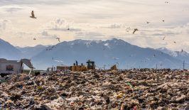
Although methane has a shorter atmospheric lifespan than CO2, its impact is significantly stronger in the short term. Major sources of methane emissions include agriculture, landfill waste and the production and transport of coal, oil and natural gas.
Reducing methane emissions is critical for mitigating climate change. Cutting methane emissions will slow the rate of global warming while complementing efforts to reduce CO2 emissions.
How MethaneSAT works
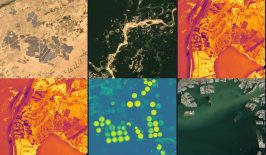
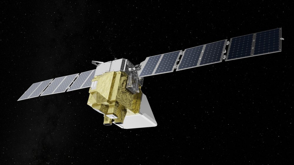
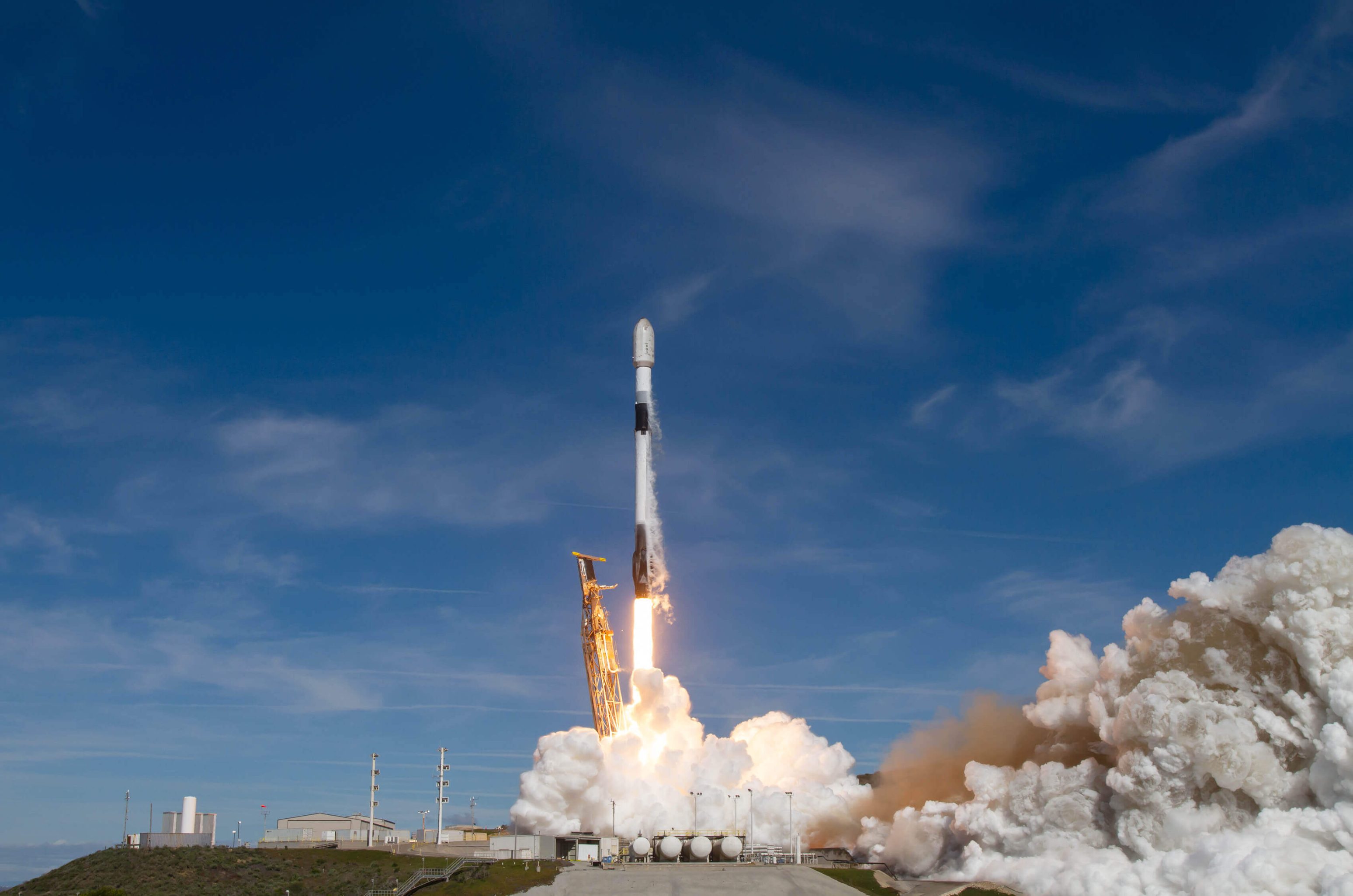
MethaneSAT is a tiny, washing-machine-sized satellite that was deployed on March 4th 2024 from Vandenberg Space Force Base in California. It’s designed to map and quantify methane emissions from space with groundbreaking accuracy. The satellite will circle the Earth 15 times a day, detecting methane concentrations as small as three parts per billion. The satellite is equipped with advanced spectroscopic sensors (related to light and radiation absorption) which detect methane concentrations. It works by measuring the sunlight reflected off the Earth’s surface; when sunlight passes through methane in the atmosphere, distinct wavelengths are absorbed. MethaneSAT then analyses these absorption patterns and calculates methane concentration in specific locales.
These sensors can identify emission hotspots with incredible precision, even differentiating between natural and human-made methane sources.
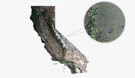
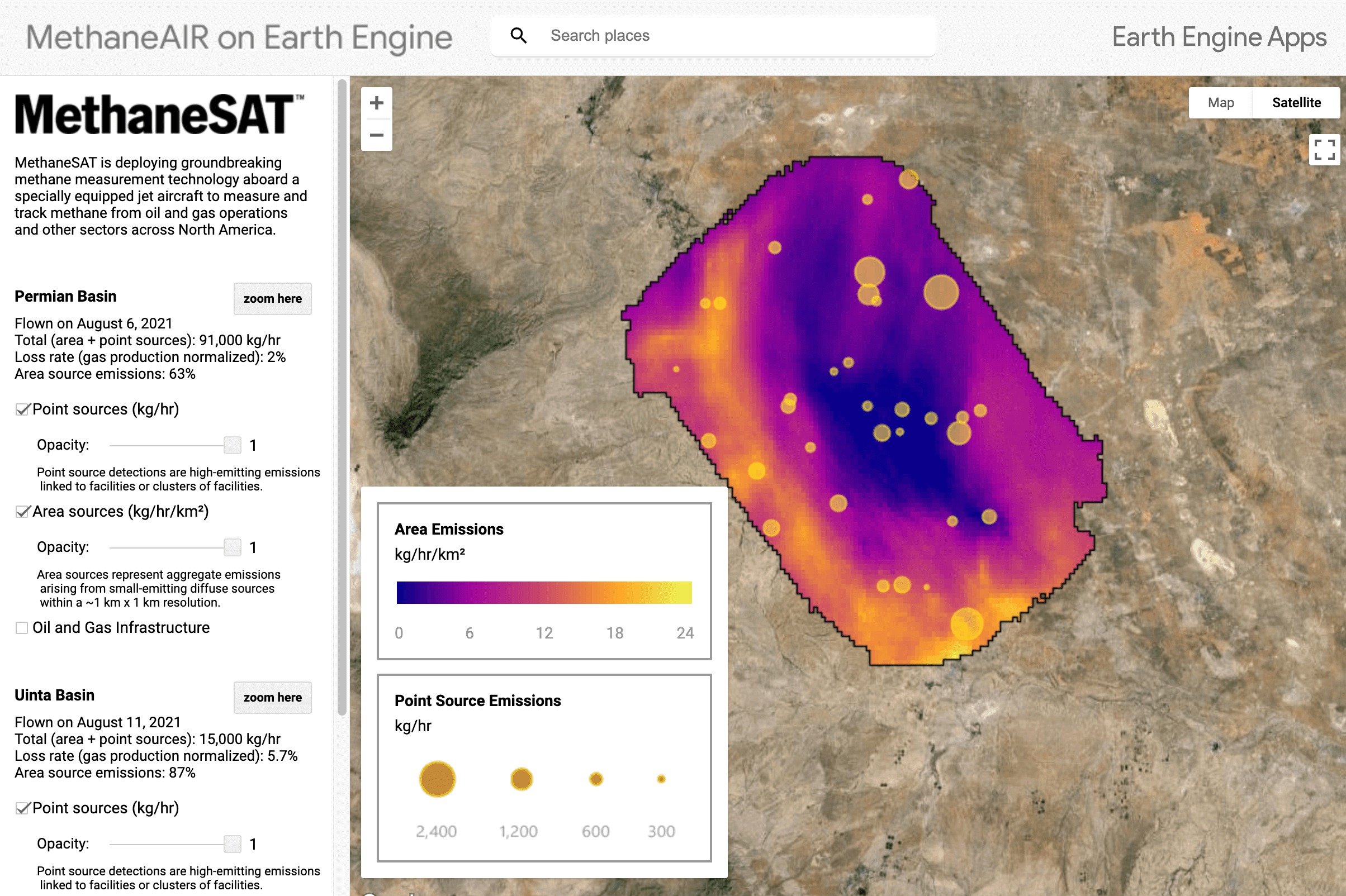
MethaneSAT can monitor emissions from a wide range of sources, including remote areas previously inaccessible with traditional satellites. The first images from the satellite are expected in summer 2024; the bulk of its “free, transparent emissions data” will be published a few months later. But, its discoveries are already changing what we think we know about methane production centres.
For example, in 2022, they revealed that it’s actually the smaller, low-producing wells that are responsible for almost half of the production centre’s methane pollution. This comprehensive coverage is crucial for a thorough understanding of global methane emissions and for holding emitters accountable.
The satellite’s onboard processing capabilities allow for near-real-time data analysis. This means that large methane leaks can be detected quickly, allowing response and mitigation efforts to be swiftly affected. Which, as we know from methane’s enormous short-term impact on trapping heat, is vital to stopping our planet warming past the 1.5-degree threshold set by the Paris Climate Agreement. Importantly, the data collected by MethaneSAT is then transmitted to ground stations and made freely available to scientists, policymakers and the public through their open-access platform.
According to EDF President Fred Krupp;
“Cutting methane pollution from fossil fuel operations, agriculture and other sectors is the single fastest way to slow the rate of warming as we continue to decarbonise our energy systems… To do that requires comprehensive data on this pollution on a global scale. MethaneSAT will show us the full scope of the opportunity by tracking emissions to their source.”
Ensuring accountability is essential for policy change
If successful, MethaneSAT’s high-resolution data could prove to be instrumental in shaping climate policy and guiding regulatory actions. Governments and international organisations could use this data to set more accurate and stringent methane emission reduction targets. The transparency provided by MethaneSAT’s open-access platform could also ensure that companies and countries are held accountable for their emissions.
For the oil and gas industry in particular, MethaneSAT presents both a challenge and an opportunity. Companies that proactively address their methane emissions can benefit from improved environmental reputations, as well as potential cost savings from capturing and utilising methane that would otherwise be lost. On the other hand, companies that fail to manage their emissions may face increased scrutiny and regulatory pressure.
 Methane is one of the planet’s most dangerous greenhouse gases. A new satellite— the size of a washing machine—is set to provide vital data.
 Obviously, for reasons we’ve already mentioned, this is a win for the fight against climate change. However, legal challenges against specific regulations or data disclosure requirements by oil and gas companies are common. For example, in 2019, oil stalwart BP was able to lobby the Trump administration to revoke key climate regulations aimed at preventing the release of methane into the atmosphere. This was after the company sought to present itself as a leader in methane reduction, even going as far as signing a pledge to “advocate for sound policy and regulations on methane”.
However, the founders seem hopeful.
According to Mark Brownstein, senior vice president of energy transition at the Environmental Defense Fund (EDF);
“Having this data is really going to be the key to holding countries and companies accountable for methane pollution, and giving them the information they need to take action”.