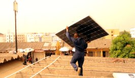
Prioritising the transformation of Europe’s energy system is crucial, given that energy accounts for over 75 percent of the EU’s greenhouse gas emissions. Russia’s invasion of Ukraine in 2022 only heightened the urgency, thanks to the subsequent surge in energy prices across Europe.
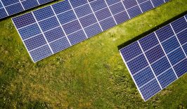
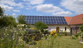
To address this, the European Commission has introduced the REPowerEU Plan, launched in 2021 by the Joint Research Centre (JRC), the European Commission’s science and knowledge service. The project outlines measures to conserve energy, diversify the energy supply and expedite the implementation of renewable energy sources, such as solar installations and wind farms. From March 2022, EU Member States were ordered to map suitable land and sea areas for renewable energy projects, which means designating ‘renewables go-to’ areas and avoiding environmentally valuable areas such as wildlife habitats.
Digital tools for mapping data
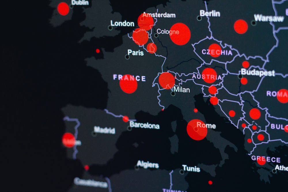
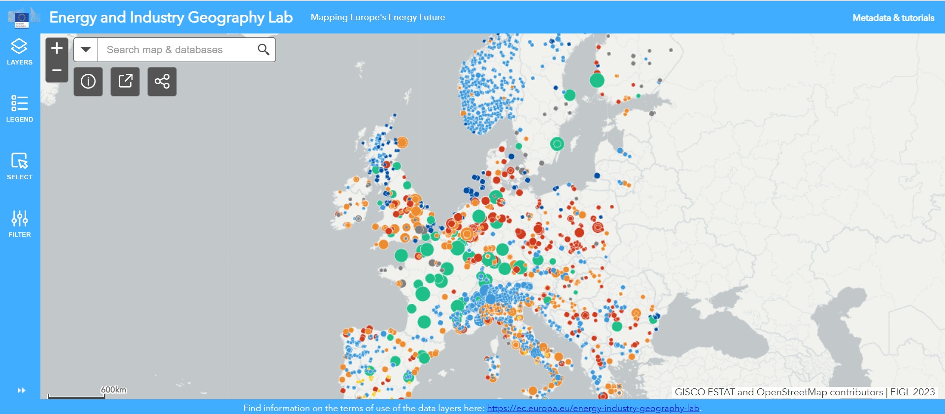
Digital maps play a pivotal role in aiding countries to pinpoint optimal locations for such installations. These expensive and immobile structures must leverage the highest energy-producing potential while minimising environmental impact. For instance, the Energy and Industry Geography Lab (EIGL) utilises interactive maps to display energy, industry and infrastructure data. This tool enables countries to assess renewable energy potential and identify prime areas for installations that do not harm the environment or disturb natural protected areas.
Several publicly accessible datasets currently make up the Energy and Industry Geography Lab. These include nationally designated protected areas, ecologically or biologically significant marine protection areas, important bird areas, key biodiversity areas, underwater noise, peatlands and wastewater treatment plants.
The project aims to add additional relevant datasets in the future. Therefore, the mapping tool serves to empower and aid national and regional authorities, especially those who may lack direct access to these datasets otherwise, to make informed planning decisions regarding renewable energy developments.
“Science and technology will help us to tackle concretely the ongoing global threats and challenges, such as the green and digital transitions. For the time, data on energy and industrial infrastructure have been brought together in a single map and for free, to better plan for decarbonisation we all need to achieve the European Green Deal” says Commissioner for Innovation, Research, Culture, Education and Youth, Mariya Gabriel.
How does the tool work?
The information contained in the Energy and Industry Geography Lab can be extrapolated in multiple ways. Users can filter, sort and export data, and maps can be shared in different formats. These functionalities are distributed across various widgets, such as ‘select’, ‘filter’, ‘export’, ‘share’ and ‘attribute’. The search bar enables users to explore all data layers and search for geographical features such as cities, provinces, bodies of water, and mountains.
Tools are helpful, but limited
The data fed into EIGL is imperfect. For example, thresholds for underwater noise have not yet been agreed at EU level. There are also potential inconsistencies and delays with data being provided to the JRC, for example, many of the data points are only updated annually, with some having a cut-off date in December, some in March, etc. This could skew data and mean that the outcomes of the map are not wholly accurate. However, the real-life implications of such inconsistencies are negligible.
Also, while the mapping tool is useful in assisting member states by providing access to relevant datasets spanning across Europe within a unified platform (as long as the data is accurate and conclusions actionable), the identification of key areas is, however, the responsibility of regulators and policymakers. As we mentioned, it’s not like this is new data; all of the information displayed in the tool has been and remains to be publicly accessible.
Increased pressure from the EU on its Member States to make environmentally sound decisions about its development of renewable energy is a positive driving force towards lowering our reliance on fossil fuels and driving down greenhouse gas emissions. However, ultimately, it is not tools that do the work. It is the people that use them.