In 2015, experts at a seminar in São Paulo asked if it was possible to generate detailed data about Brazil’s land use and land cover. Current methods were sluggish, produced only every five to eight years. Was there a way that was easier, faster, and cheaper?
That’s how the Brazilian Annual Land Use and Land Cover Mapping Project – or Mapbiomas – was born.
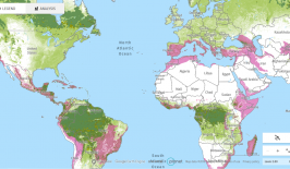
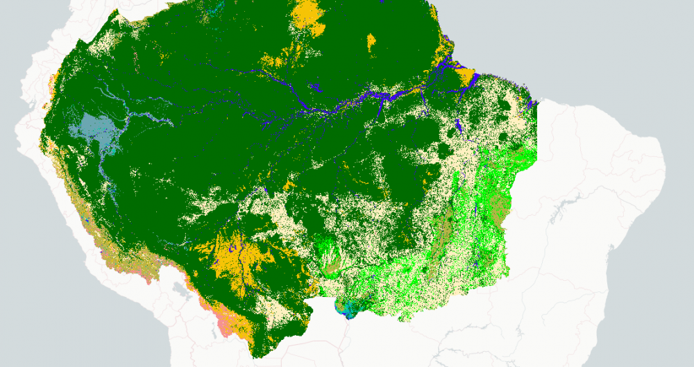
Brazil is the world’s fifth large country, so rigorously mapping its land – all 8.5 million square km of it – is no easy feat. Moreover, scientists wanted access to data dating back to the 1980s so that the transformation of land over time could be analysed.
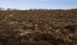
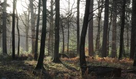
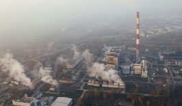
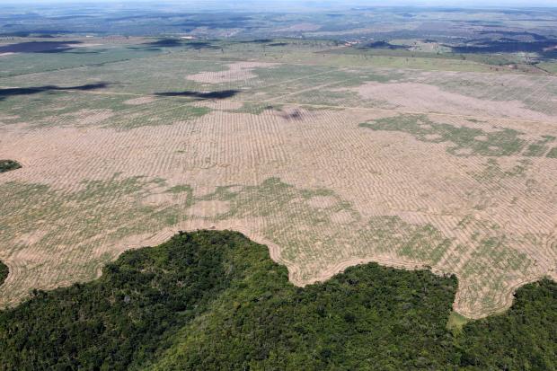
Accurate information about which kind of land exists in Brazil – for example, whether it’s covered by grass, trees, or water – and how it is used is imperative to protect it. Brazil is, of course, famed for its rainforests and exceptionally high biodiversity – as well for the sad decline of both due to mass deforestation. Activists around the world have looked on in horror since climate change denier Jair Bolsonaro was elected president of the country in 2019, spelling catastrophe for Brazil’s precious Amazon rainforests, often called the “Lungs of the Planet”.
Despite this, top scientists and experts across the country are fighting hard to understand the climate crisis and how it’s affecting Brazil. Mapbiomas is a collaborative effort of biomes experts, land use, remote sensing, Geographic Information System (GIS), and computer science.
To make their plans a reality, the group turned to Google’s technology. The Google Earth Engine platform affords the high processing power and automation required to process and distribute satellite images quickly. The platform is open-access, with many people able to access the tool at the same time from different places.
So far, the project has yielded data from 1985 until the present day, with annual updates to follow. This information allows scientists to better understand issues such as deforestation, land burning and agricultural expansion – which can, in turn, inform environmental policy, food production and regional planning. It could be also be used to assist in the planning and execution of large-scale tree planting projects.
Unprecedented Insights
We live in a data age. We now have powerful ways of analysing vast amounts of data, and in some cases, this information can help us make better decisions about the world.
That’s what Mapbiomas hopes to do. Through the data gathered, it’s possible to see how land use affects things like rainfall patterns, greenhouse emissions and the landscape. It’s now possible to see just how much forest was converted into pastures, or how much mangrove has been cut to make way for urban expansion.
The analysis also provides new insights, such as the evolution of irrigation areas, or changes in pasture quality.
Data from the first collection shows the impact of fires in Brazil. Every year since 1985, Brazil has burned an area larger than England: 1.8 percent of the whole country annually. That means that one fifth of Brazil has been burned in the last 36 years.
Through analysis of satellite images, Mapbiomas data has also demonstrated a loss of water surface – in rivers, lakes and coastal areas – all across Brazil since the 1980s. Similar technology has also been used to track deforestation generally across the globe.
Recently, Mapbiomas published information charting the evolution of industrial mining and mining areas from the 1980s until now.
Owing to its success, Mapbiomas has already rolled out its methodology to other countries using the same base of algorithms.
Mapbiomas works with many partners in Brazil and around the world, including the World Wildlife Fund (WWF). Its financers include Instituto Arapyaú, the Gordon and Betty Moore Foundation and Norway’s International Climate and Forest Initiative.