Anyone walking through the historic old town of Herrenberg, Germany, would probably not expect the self-proclaimed “participatory town” to have set up a model project for a modern networked mobility concept. Together with its citizens, the town has created a local alternative to international providers such as Google and Co.
Mobility app stadtnavi links all available mobility services in the region, makes multimodal route planning possible and relies on an open-source approach. The project is funded by the Federal Ministry of Digital Affairs and Transport (BMDV).
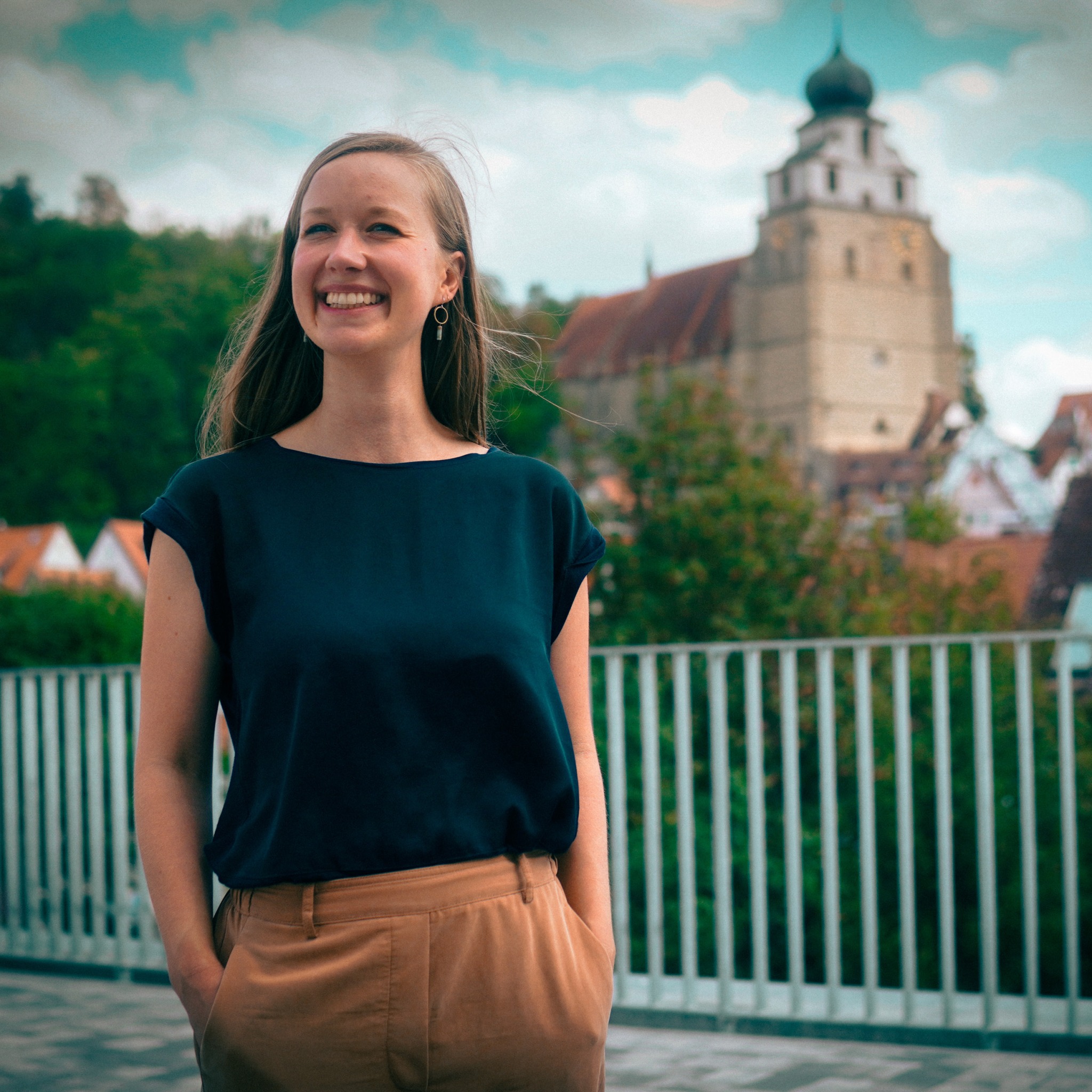
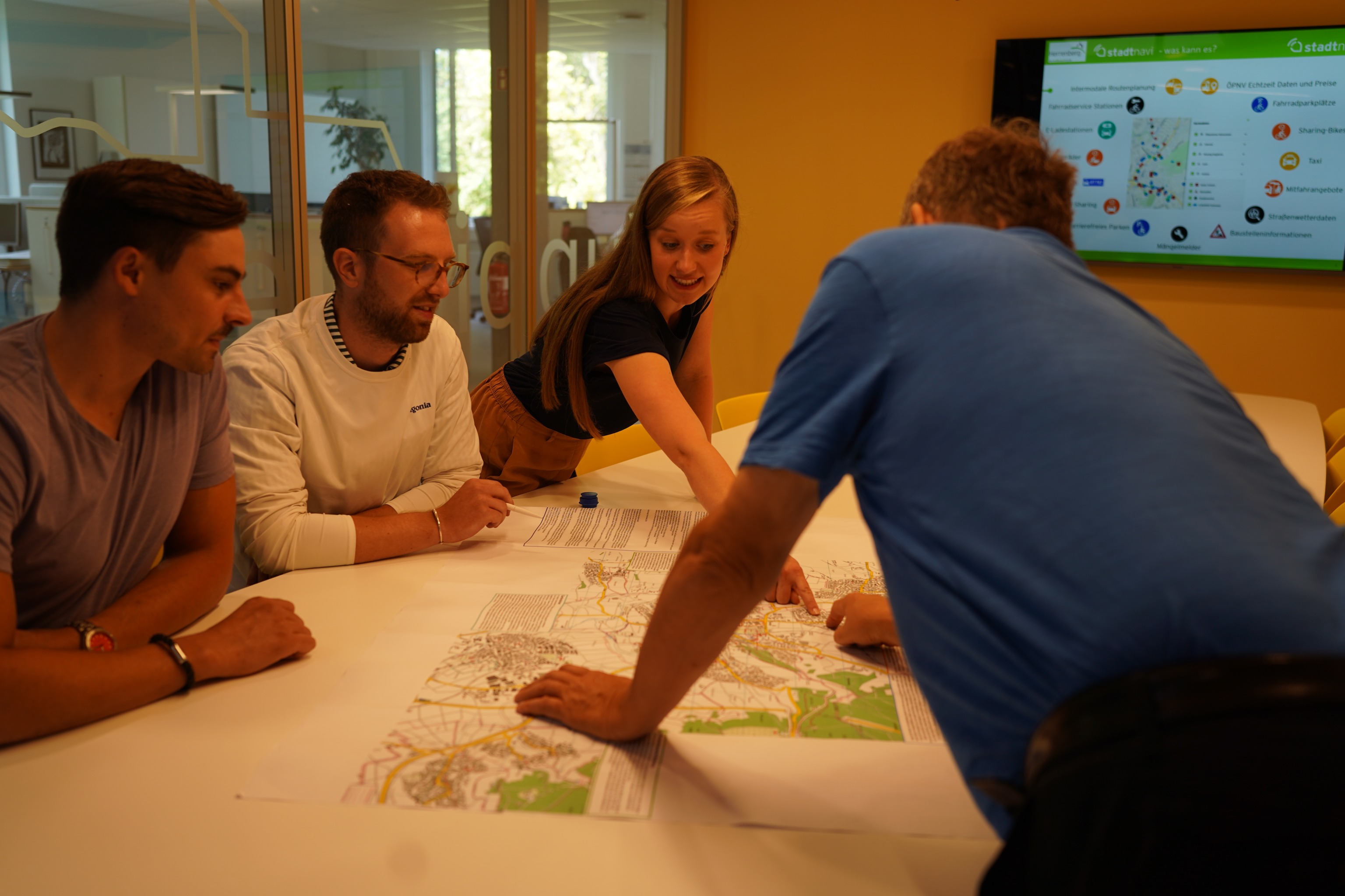
Jana Zieger has been leading the stadtnavi Herrenberg project since May 2022. We talked to her about how the project came about, why the city decided against a ready-made product from a private company and how mobility apps are driving the transport revolution.
RESET: Hi Jana, how did the idea for the stadtnavi come about?
In our municipality of 33,000 inhabitants, we had a problem: around 2018, the nitrogen dioxide limits were regularly exceeded. The reasons were obvious: too much car traffic and too little use of environmentally friendly means of transport. We are a city of short distances and there are many good alternatives to the car. But in order for more people to use them, there needs to be clear information about which combination of these options leads to the fastest destination.
This is why we developed stadtnavi. At the beginning, my colleagues spent many months talking to providers of already established solutions from private companies. But none of the offers could meet our requirements. We wanted free licences, no advertising and we didn’t want to give away the users’ data. We also wanted a solution that other municipalities and regions could use at low cost and that would not create a permanent dependency on one provider.
What are the benefits of mobility platforms for users?
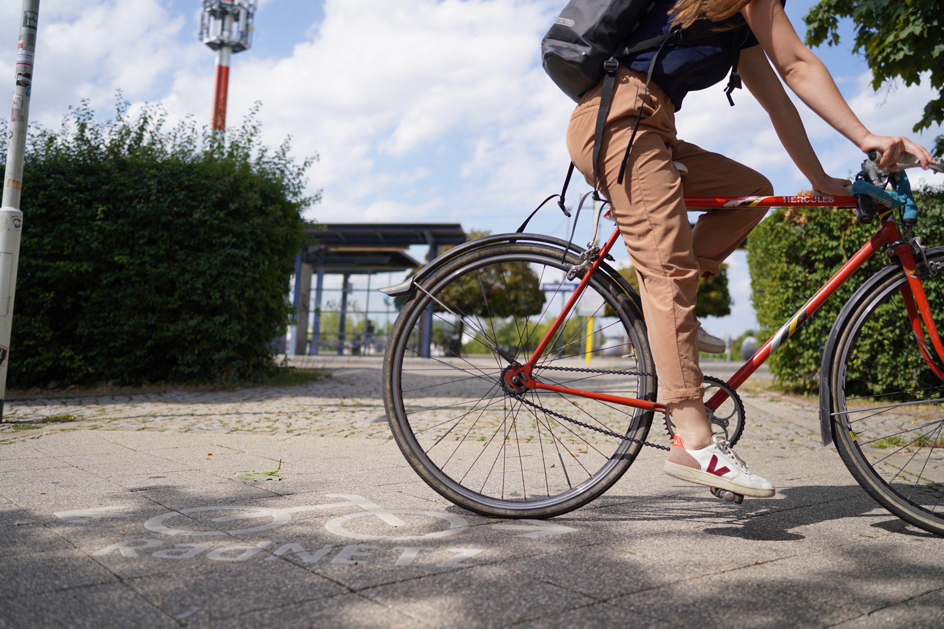
For our citizens who use the stadtnavi for their route planning, there are three major advantages. On the one hand, the journey planner shows the low-emission means of transport first, for example a route combination of bicycle-bus-train. Here, special attention is paid to presenting users with fast routes. In addition, it often turns out that a combination of several environmentally friendly mobility options can save a lot of time, which then encourages one or the other to leave the car behind.
In addition to the focus on intermodal route planning, stadtnavi also contains locally specific information such as: Where can I find the nearest cycle station? Does anyone offer a ride on my route? Are there any free parking spaces in the city centre? Is there a taxi available at the station? Where can I rent a cargo bike and how many rental bikes are currently available? You can also advertise carpooling offers directly on the app.
Stadtnavi also offers the possibility to integrate and promote local sustainable modes of mobility that typically fall by the wayside with the large commercial offers. In the spirit of the “participatory city of Herrenberg”, stadtnavi was developed for the citizens, and is to be further developed with them. This year, several participatory activities will take place in which our citizens can help shape the future of stadtnavi. In addition, the open source and open data community continues to play a significant role in its development. An important basis, for example, is the data from OpenStreetMap, which is continuously maintained and expanded by many committed people in their free time.
Are there also advantages for the municipality and transport associations?
Yes, the operators definitely benefit as well. Setting up and operating a stadtnavi instance is an instrument for municipalities to manage the complexity of their own mobility data. This means analysing which data is available and in what quality, generating missing data or procuring it in exchange with other actors, enabling intelligent digital solutions for sustainable mobility and advancing the topic of smart cities.
I assume that mobility data and open data will play an increasingly important role for public services in the future. Only when you have a good data basis can digital solutions for sustainable mobility emerge. This means knowing what data exists, having it available in machine-readable quality, and making the data openly available to everyone, free of charge. Stadtnavi is intended to be copied and developed further; as an open source project, it can be copied and used by any municipality or region without license fees. This means that everyone also benefits from the further developments of others.
In order for this to work, you have to be well-networked, of course. I’m currently in the process of achieving this.
You also attach great importance to data minimisation, don’t you?
Yes, no user data is tracked and no routing requests are logged in the background. The data we use is only mobility data, such as real-time data of S-Bahn trains, timetable data, location data of sharing vehicles. We collect almost no usage-related data and the little data that is collected is stored anonymously and securely in accordance with European data protection law. It is also impossible to assign the data to an individual person; no personal movement profiles can be created with stadtnavi.
Why doesn’t every municipality already have a mobility platform?
First of all, I would say that there are already many municipalities or counties and regions with their own mobility platform. For example, the district of Reutlingen, the city of Ludwigsburg, the Pforzheim transport association and the state of Brandenburg have built on the stadtnavi Herrenberg. In addition to these, there are of course many locations with other models. It is a very dynamic field in which a lot is happening and many other platforms are already being set up or planned.
Why not all of them yet? There are certainly many different reasons for this — from classic excuses such as a lack of personnel and financial capacities, to other priorities to topic-specific reasons such as the complexity and the sometimes poor availability of mobility data.
Nevertheless, I would also like to ask the question of sense here — does it really make sense for every municipality to set up its own mobility platform? For me, the answer is: it depends on how. I am somewhat critical that proprietary solutions are always being created that cannot be adopted by others or are difficult to adopt and create dependencies. That’s why I think the open source approach of stadtnavi is so promising, because it is a counter-concept to ever-emerging isolated solutions.
What challenges arise when networking all mobility offers of a region on a municipal platform? It is certainly not easy to create such a (data) interface, is it?
Yes, data availability and quality are the main challenges. We rely on so-called “open data”, because buying all the necessary mobility data could be very costly, especially for small municipalities.
Municipalities that would like to set up a stadtnavi instance should definitely make sure that when cooperating with sharing providers or providers of e-charging stations, they already make corresponding regulations when awarding the contract, so that, for example, the data on the location and occupancy status are made available to the municipalities as open data and may be used free of charge for applications such as stadtnavi. And, if we keep nudging and pointing out that mobility providers must make their data available reliably, transparently and in better quality so that it can be integrated into the city’s navigation, in the long term the topic of open mobility data will also progress better at all levels.
Which data sets were particularly important for you?
I can’t really make a prioritisation here. We want to integrate all forms of mobility in order to make alternatives to motorised private transport viable. To do this, we use local and regional data, some of which is collected using LoRaWAN sensors, for example. Then the data provided to us by the open data community, such as Open Street Maps, is also very important. And data from MobiData BW is also essential.
Do CO2 emissions of the respective route options also play a role, are these displayed?
We don’t currently show the CO2 emissions, simply because this was not budgeted for in the first development phase. Technically, it would be possible, and it is indeed an idea that we are currently discussing with other bodies and that I find very exciting!
How do you think mobility platforms will evolve?
Real-time data will definitely become more and more important because it makes seamless and reliable mobility much more straightforward. I also very much hope that there will be a lot of progress in the area of bookings in the next few years — regardless of association borders and means of transport. This is not an issue that we can handle as a municipality, but we are happy to support it where it is within our sphere of influence.
The great advantage of Google Maps is that it works more or less reliably in almost every city in the world. Is there really a need for regional platforms?
I don’t see Google Maps, etc., so much as competition, but rather as a complementary service. Personally, I’m also a big fan of having Google Maps in other cities as a point of contact and being able to orientate myself with it. However, I often find that I use a combination of regional apps and Google Maps because I need more local information. The handling of personal data can also be criticised.
I see the great added value of regional platforms, among other things, in the fact that the operators of regional platforms — i.e. municipalities, for example — have much more individual design and development options and can consciously focus on focal points such as climate and environmental protection or traffic management and involve their population.
We already have a lot of ideas to provide incentives for sustainable mobility via stadtnavi. Bonus systems and the display of CO2 emissions would be concrete examples. Strengthening local, cultural and sustainable offers and integrating more information about the local climate and places to cool down in summer would also be possible.
Green Mobility – Digital solutions for a climate-neutral future
Autonomous vehicles, e-mobility, AI-controlled traffic planning, new modes for moving from A to B — what will the mobility of tomorrow look like?
We present the digital solutions being proposed for climate-neutral transport and logistics and discuss the new challenges of “digital mobility” in this dedicated special feature.
How has stadtnavi Herrenberg been received?
We are so data-sparse at the moment that I can’t come up with clear figures. What I can say on the end-user side is that there is a continuous upward trend in the number of page visits to the web version. We do not yet collect any data on the app. Overall, however, we definitely want to increase awareness among end users through public relations work in the next few years.
As far as the operating level is concerned, on average, I receive enquiries from interested municipalities almost every week, asking how they can participate. So the interest is very high!
What does the mobility of the future look like?
In the future, mobility will be much more multimodal than it is today. In my personal vision of the future, the streets — not only in Herrenberg, but everywhere — will have changed completely. The image will be shaped by bicycles, cargo bikes, e-bikes, intelligent sharing vehicles, pedestrian traffic and public transport.
Perhaps as fewer car spaces are needed, more space for lots of greenery and areas with a high quality of stay can emerge. Environmentally friendly alternatives have become so much more convenient, faster, more flexible and cheaper that people should no longer need their own cars.
People who have special mobility requirements, for example for health reasons, should also be considered in all aspects and benefit from barrier-free mobility. In my vision of the future, applications like the stadtnavi link mobility nationwide and make it child’s play to switch between modes of transport and buy tickets intermodally quickly.
It is quieter on the roads because there is no more engine noise; the air is good and there is a fairer distribution of public space. The transport sector in the Federal Republic no longer makes headlines about not meeting climate targets, because environmentally friendly mobility is the standard and works great.
And what do you think the way there looks like? What does it take for more people to be willing to give up their cars?
Personally, I am convinced that we need both push measures, such as higher parking fees and access restrictions, and pull measures, i.e. a good range of alternatives and incentives, so that people are willing to do without their cars or can do so at all. The city of Herrenberg has set itself the goal of strengthening walking and cycling in particular, as well as public transport, and of orienting itself to the principle of the city of short distances.
But, the mobility revolution starts in the mind. That is why events like the Herrenberg Streetlife Festival, which celebrated its premiere in 2022, are of utmost importance. Here, a main road was temporarily closed to car traffic and the Seestraße became the venue for a diverse cultural programme.