Based in Lisbon, Tesselo is a company set up two years ago that uses satellite data to help businesses manage their resources in a safer, more efficient and sustainable way.
Their team consists of environmental-, AI- and system engineers who together are able to collect, aggregate and analyse layers of environmental information from a range of different sources (including satellite imagery, aerial imagery and drones), monitoring gradual image changes over time and identifying patterns and predicting possible risk factors. These near real-time, country-wide “spatial insights” can be applied to a broad range of different industries and challenges.
How Satellites Can Help Businesses Be Greener
Tesselo’s aim is to use this data to develop projects that helping organizations to streamline their resource use and make businesses greener and smarter. “Our company helps to interpret earth observation data and apply it to business problems. We deliver the environmental and business insights to decision makers” explains Remi Charpentier, one of the co-founders of the company that since being founded in 2017 already enjoys the support of the European Space Agency.
Tesselo provides access to this data, through a web platform, where their clients can also visualise and analyse the data. They do not need to have any technical skills. “While most of our competitors deliver raw or cleaned satellite imagery, we offer spatial intelligence,” adds Mr. Charpentier.
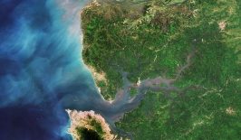
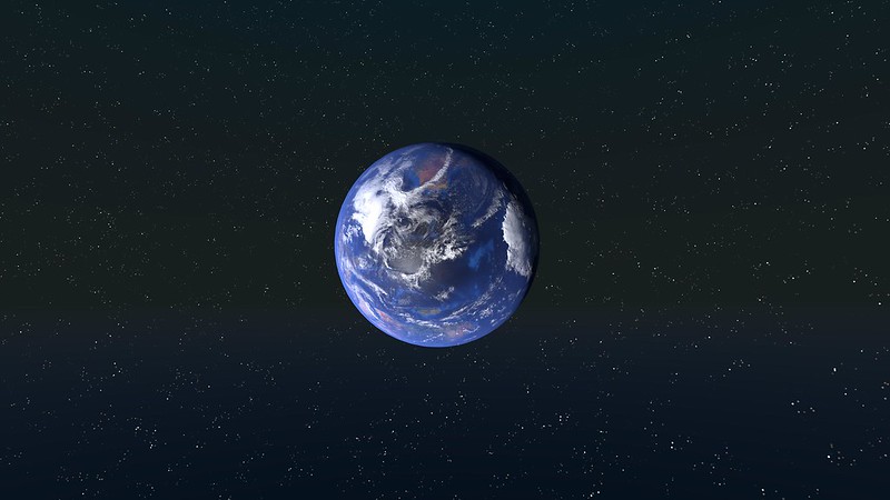
But where does the data come from? The startup is working with the Copernicus program. Copernicus is the largest space data provider in the world and most of its earth observation data and information is available on a free and open access basis.
Tesselo has developed a few solutions that are already being used by companies and NGOs. For example, they offer a smart forestry solution which makes planting more efficient – by estimating the best time to plant, providing early warning of pest attacks and also making it possible to verify if the use of the land is in compliance with environmental regulations.
Another solution helps to tackle wildfires by ensuring that there is a safe distance between existing manmade infrastructure and vegetation and also by developing fire risk maps to help to identify areas that are at a high risk of burning.
This kind of geospatial intelligence can also help bring transparency into supply chains. Tesselo also offers a solution that maps the supply chain of certain resources, tracking it to make sure that it was produced under sustainable conditions – for example to make sure that it doesn’t contain wood that has been sourced from an area that has been deforested illegally.
While Tesselo continues to expand its business and partnerships, such as a recent one with the German startup, sustainabill, the company continues working on future projects. One is to develop an innovative spatial solution for insurances related to natural disasters.