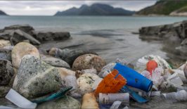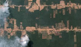
Advanced satellite technology has the potential to revolutionise the way we see our planet. Satellites equipped with high-tech camera equipment can provide never-seen-before views of Earth and allow researchers to observe vast areas in an instant. Combine this with machine learning algorithms and we’re able to track and discover information about challenging environmental issues – such as deforestation or plastic pollution – using satellite photography.
And some satellites are able to go even further than that. Using specialised camera equipment, satellites can now also be used to measure things generally invisible to the human eye, such as air and sea pollution.
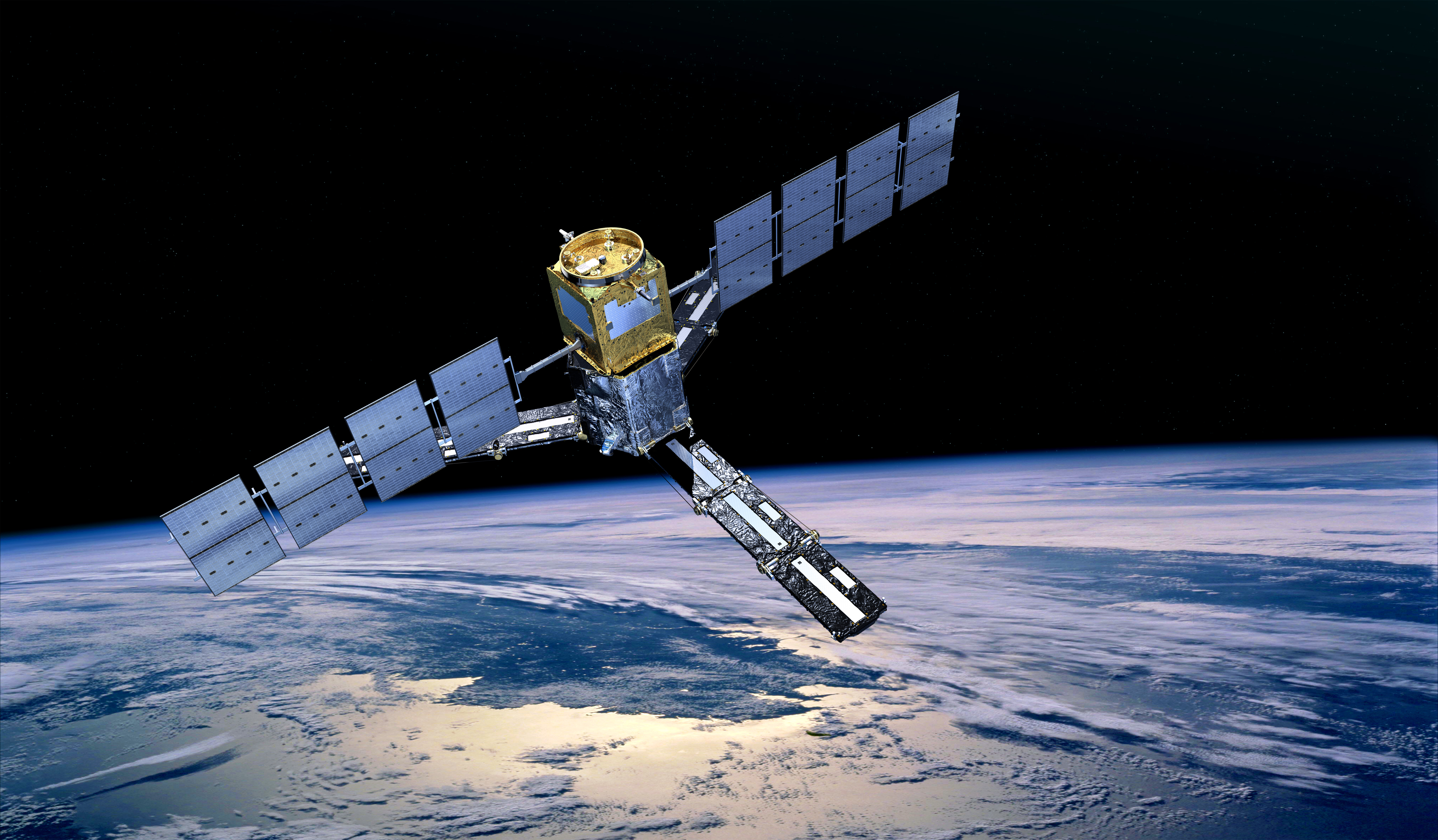
For example, the European Space Agency’s Sentinel-5P satellite, which was launched in 2017, has an advanced suite of tools which can be used to measure various pollutants in the Earth’s atmosphere. Of particular note is the Tropomi (TROPOspheric Monitoring Instrument), a spectrometer capable of scanning the Earth’s atmosphere through ultraviolet (UV), visible (VIS), near (NIR) and short-wavelength infrared (SWIR) spectrums. By detecting fluctuations in these various wave-lengths, the satellite can detect the presence of compounds such as sulphur dioxide and nitrogen dioxide.
However, air pollution isn’t limited to our atmosphere – it’s increasingly making its way into our seas and oceans, where it’s absorbed by seawater and causes ocean acidification.
Examining Our Oceans From Space
Both NASA and ESA are exploring the issue of measuring ocean acidification from space, with their Soil Moisture and Ocean Salinity (SMOS) and Aquarius programmes respectively. The Earth’s oceans have been instrumental in containing climate change, as they can absorb vast amounts of carbon, reducing the global temperature. But, this effect takes its toll. In recent years the ocean’s chemical balance has been shifting with seawater becoming less alkaline and more acidic.
This process has the potential to greatly affect the biodiversity of the ocean, especially in regards to smaller creatures such as pteropods. Increased ocean acidification can act to disrupt the growth of pteropods’ shells, affecting their chances of survival. This is especially important as pteropods form the basis of many ocean food chains.
New research has recently been concluded which looked into the feasibility of measuring ocean acidification from space. Although satellites would be unable to measure the ocean’s pH level – the clearest indication of ocean acidification – it can measure ocean salinity, the amount of salt in the seawater.
For example, NASA’s Aquarius satellite is equipped with devices which can detect and measure the microwaves by blackbody radiation coming from the ocean’s surface. With this information, it can estimate the salinity of the top 2 centimetres of the ocean’s surface. It is possible this information can then be extrapolated and combined with carbon measurements to come to an accurate prediction of ocean acidification. A large international team headed up by the Plymouth Marine Laboratory is currently looking into the feasibility of this model. The project’s lead, Dr Peter Land told RESET:
“The main advantage satellites confer is regular coverage of the entire globe, giving us a far more detailed, synoptic view than is possible with in situ data, especially in regions that are hard to access. The main challenge is whether satellite measurements can estimate ocean acidification parameters with sufficient accuracy to be useful. In this respect, satellites have had a big boost in the last few years with the advent of satellites that measure salinity.”
Are Satellites Up to the Task?
If satellites can perform this role, it could greatly increase the efficiency of ocean acidification studies as well as decrease their costs. Plymouth Laboratory’s Helen Findlay explained that, previously, ocean acidification was measured in situ from ships or moorings which could take water samples and return them to a lab for analysis.
More recently, sensors have been used, but these also come with downsides, including the need for calibration, drifting and bio-fouling from the build up of algae. Recovering the sensors and gathering water samples creates an additional logistical burden, which limits the amount of space and time to be used for research.
The use of satellites also has some drawbacks, although teams are looking to reduce these as much as possible and improve the validity of satellite readings. Dr Land continued:
“Measuring salinity from space is hugely challenging, especially close to the coast, in areas where illegal transmitters causing radio frequency interference can distort the signal, and in cold polar waters where the sensors are less sensitive to salinity. However, over the past decade there have been new satellites and many improvements in the way we analyse the data, giving us ever-increasing confidence in our understanding of what we can achieve with the measurements.”
It is hoped the latest developments with national space agencies can provide the data needed to test the viability of the approach on a broader scale.
This article is part of the RESET Special Feature “Satellites for Sustainable Development”. Click here to explore all of the articles in the series.