As cities across the world expand, new challenges are inevitably emerging about how and where the impact of this expansion are most acutely felt. However, often these impacts only become visible once it is already too late to introduce meaningful legislation, resulting in a situation where environmental efforts deal with the symptoms and not the original cause of the damage.
One reason for this is the inability for environmental and governmental agencies to fully and comprehensively observe the effects of changes on the land, be it from urbanisation, agriculture, industry or weather patterns. Often workers can only report on local observations in very small areas, meanwhile issues elsewhere in the world go unreported and unacknowledged until it is too late.
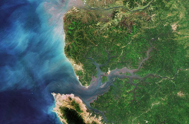
But now a German research institution is looking to artificial intelligence to help change this dynamic. The German Research Center for Artificial Intelligence (DFKI) aims to combine machine learning algorithms with high resolution satellite imagery to quickly and accurately access land change across the globe – ideally before it is too late.
Spotting the Damage to Earth From Space
Research lead, Patrick Helber, believes his AI – which is currently still in development – can learn from pre-existing images before going on to learn on its own in a dynamic fashion. Eventually, the AI could learn to categorise land by the activity which takes place on it, and then report that information back to agencies across the world. Potentially, the AI could learn to associate certain environmental impacts with certain economic activity, such as the impact of industry and agriculture on local water levels, or to spot deforestation as it occurs.
In particular, the DFKI hopes its technology can support and access the progress of the 17 Sustainable Development Goals developed by the United Nations. The goals, which cover a range of topics, are designed to facilitate the development of economies and societies within a framework that preserves the environments in which those expansion takes place. An AI system, connected to imagery satellites, could be an invaluable tool in the long-term assessment of these goals, and the highlighting of issue areas.
The European Space Agency, in particular, could also be an interested partner in DFKI’s goals. Currently, their satellites capture up to 150 terabytes of data every day and the only conceivable way to filter through all this information would be with artificial intelligence and machine learning. Indeed, the ESA hopes to develop a satellite with an incorporated AI chip within the next few years.
Dubbed BrainSat, the ESA expects the AI to become a cornerstone of their future Earth observation programs, providing a wealth of usable information to commercial interests and societal actors.


