In sub-Saharan Africa, around 60 per cent of the population lives in a rural region. Agriculture is therefore the most important economic sector in many parts of Africa, with up to 75 per cent of people being directly or indirectly involved in agricultural activities. Many of these people are shepherds who travel with their herds through the dry zones of Africa, always on the lookout for new grazing areas for their animals. According to the Food and Agriculture Organization of the United Nations, sub-Saharan Africa is home to up to 200 million shepherds who live nomadically.
During the dry season, livestock are moved from pasture to pasture using traditional methods: exploring the area, applying indigenous knowledge and word of mouth. However, these methods also have their limitations. Due to climate change and changes in land use, areas that were once usable are now no longer suitable for grazing animals. A US organisation, Project Concern International (PCI), has come up with a smart, digital tool for this problem.
Finding Pastureland with Satellites
PCI has used satellite imagery to develop maps that show the current state of different areas. This information enables shepherds to make better decisions about where to drive their livestock, which in turn can reduce the loss of animals. This results in improved profits for nomadic herders and their families, for whom livestock – the sale of meat, milk and other by-products, such as leather – is often the only source of income. The more animals, the more products they have available to sell.
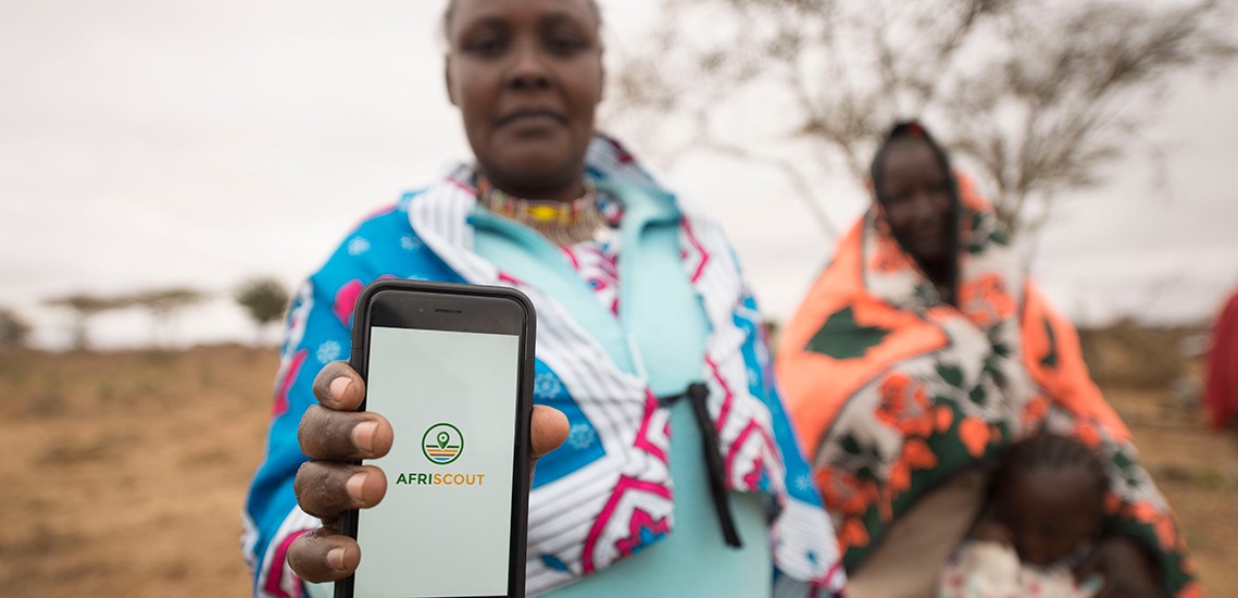
In a further step, an app was also launched in Kenya, Tanzania and Ethiopia at the beginning of this year: AfriScout. Using this app, shepherds are able to access maps and obtain local information about vegetation and surface water in real time. As more and more people have smartphones at their disposal, even in rural areas, this kind of app could becoming increasingly useful. However, there is one downside: the usually very poor access to the Internet in rural regions.
A variety of solutions and ideas are on the drawing board, such as Google’s internet balloons or the SupaBRCKs, a combination of off-grid modem and server in one.
This article is a translation by Mark Newton of the original article by Jasmina Schmidt which first appeared on RESET’s German language site.