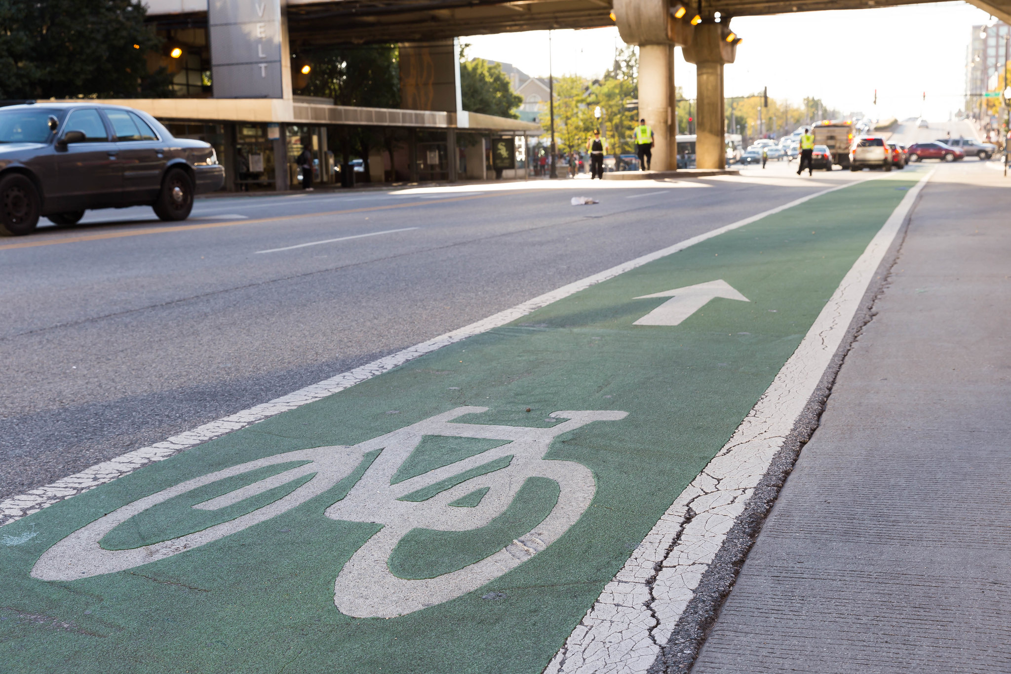
Bikes are the perfect means of transport in the city; zero CO2 emissions, no noise and extremely compact both during the ride and when parked. For cities, investing in bicycle-friendly infrastructure really can only bring benefits – not least when it comes to reaching their climate targets. However, with a few exceptions, most city planners haven’t seemed to realise. As the Heinrich Böll Foundation’s mobility atlas published last year shows, most cities are still planned around cars. In Berlin, for example, 13 percent of all trips are currently made by bicycle. But overall, only three percent of traffic space is reserved for cyclists. Cars, on the other hand, have 39 percent – despite car journeys only making up one third of all trips taken in the city. On top of that, another 19 percent of the space is given over to parking spaces.
In cities such as Copenhagen or Vienna, where bicycles dominate the traffic, there is a clear correlation between better and, above all, safer cycle paths and the number of cyclists – the number of cyclists on the road increases when there’s good infrastrucutre in place. If we’re going to go from a car-dominated city to a bicycle-friendly and sustainable one, the first thing we need is a rethink. And when it comes to implementing the bike-friendly changes, we’ll need detailed data to shed light on the situation; data on the movement patterns of cyclists, for example, will be helpful in improving cycle paths in the right places.
This data actually already exists, because most bike-sharing providers collect data. But this data is usually just used for advertising purposes, rarely ending up in the hands of the cities and municipalities to help improve cycle paths.
Bike Citizens: where cyclists and cities meet
Bike Citizens not only offers a bike app that allows you to navigate you way from A to B the safest and most comfortable way possible, it also works together with cities, companies and organisations on software solutions as well as communication and marketing concepts to promote cycling. Bike Citizens was founded in 2011 by the bike couriers Daniel Kofler and Andreas Stückl, and now has two locations in Graz and Berlin and over 35 employees. The app is available in more than 450 cities in over 30 countries. We talked to Elisabeth Felberbauer who works in Digital Portfolio B2Gov and Product Management at Bike Citizens.
On your website you say that Bike Citizens was born out of the need to show people the good things about cycling. What are these for you? And how do you communicate them?
For us, the bicycle is the most beautiful and fastest means of transport in the city. It’s a 360-degree convertible that lets you experience the world around you up close and communicate directly with the people around you.
To make this experience accessible to everyone, we have developed a bicycle-friendly navigation system for the city. The Bike Citizens app brings cyclists – depending on their experience and needs – to their destination in a safe and comfortable way via cycle paths and traffic-calmed side streets. The app provides directions and safety, especially to people switching to cycling from other forms of transportation, and for people who are new to cycling, and also for families with children. But even the most experienced cyclists are always surprised by the new routes that the app is able to show them.
But you’re also working on improving the cycling infrastructure in cities. How do you aim to achieve that?
Over the years, a whole portfolio of digital products and campaigns has developed around the bicycle navigation system. These help cities to promote cycling and make it more attractive. For example, the data voluntarily recorded and provided by our users can help create a better understanding of cycle traffic and optimise it on the basis of the data. We have developed our own analysis tool for the analysis of GPS data, which has not been available on the market before.
Anyone who wants to make cycling more attractive to people has to understand what obstacles cyclists face on their daily routes – whether it’s cycle paths that come to a sudden end, conflicts during the journey, cycle paths that are too narrow, long waiting times, lack of infrastructure or visual obstructions that endanger safety. Often it is also these kind of disruptive factors that prevent others from getting on the bike at all. With our PING if you care! campaign, we enable cyclists to give targeted feedback to cities. This is done via a bluetooth button linked to the app. The results can then be evaluated directly in the analysis tool and a catalogue of measures can be suggested to the city.
What do you recommend to cities that really want to become bicycle-friendly? What are the most important factors for a bicycle-friendly city and how does Bike Citizens help?
Political will and courage to act. Often even small deeds can have a big effect – just pick up some paint and a brush and mark the cycle paths with colour. That clearly marks the space and also makes it clear where connections are missing or the infrastructure ends abruptly. The fear of possible (negative) consequences from bike-friendly measures is unfounded – you just need to look at Denmark or Holland to see that.
For us, a bicycle-friendly city means that families with children can move through the city just as easily and safely as bicycle messengers. It is also clear that a seamless infrastructure cannot be built overnight. This is where our bike app helps to highlight and make use of the already existing, bicycle-friendly infrastructure. The information gained from the recorded data can in turn provide a valuable contribution to targeted infrastructure projects. We are currently working with the province of Styria on a cycle network study in the Graz area. The aim is to use our bicycle data to define the major bicycle corridors for 2030. This is cycling infrastructure planning based on future needs and expectations. We look at what the network must look like in order to be able to capture a doubling of the bicycle traffic share (from 20 to 40 percent) by 2030. It’s a very progressive approach.
The map used in the Bike Citizens bike app is based on OpenStreetMap. Why did you choose to use that?
Behind the OpenStreetMap is a community that works together to create a good map base – and we too can contribute with our information and give that back to the community. Our developers attach great importance on working with open source products and avoiding Google and Co. as much as possible. We also handle our users’ data very sensitively. Having our users’ trust is very important to us.
You’re not only active in German-speaking countries, are you? On your website I read about a campaign in Hungary?
We are mainly active in German-speaking areas, but we also carry out projects all over Europe. Together with our Belgian project partner, Mobiel 21, we have implemented the PING if you care! campaign mentioned above in Brussels, Munich and Amsterdam, for example. Realising a bicycle campaign in the bicycle capital of Europe fills us with such pride.
In Hungary, we organised the Bike2Work campaign with the bicycle lobby for the second time in a row. In comparison to other campaigns, only rides recorded with the app count for us. The bike lobby has done a great job of advertising – the increase in the last two years alone has been enormous – especially in Budapest.
This is a translation of an original article which first appeared on RESET’s German-language site.