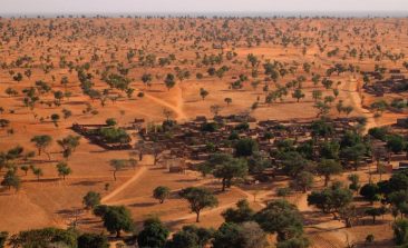
An international team of researchers, using high-resolution satellite data and artificial intelligence, has been able to locate billions of trees growing in the Sahara Desert. The results were published in the journal Nature in October 2020 - and the discovery made headlines around the world. RESET spoke to research group lead Professor Martin Brandt from the University of Copenhagen to find out more.
A young company from Berlin wants to use 3D soil maps to make agriculture lower in emissions and more resource-efficient. Satellite and aerial photographs provide the data. Co-founder Suvrajit Saha explains to RESET in an interview how the soil maps are produced and who is benefitting from this new knowledge.
In Austria, the humanitarian organisation Doctors Without Borders has its own remote sensing and geoinformatics unit, which is helping them optimise and streamline their work in crisis regions. We spoke with Lorenz Wendt, who provides the organisation with satellite imagery and tailormade maps.
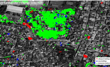
Researchers at the German Aerospace Center are working to make space technologies available for humanitarian aid. The aim of their "Data4Human" project: to provide aid workers with the information they need to make crucial decisions - as quickly and precisely as possible.
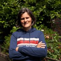
Non-profit organisation WeRobotics is harnessing the power of technology transfer, knowledge sharing and local expertise - working together with people in the Global South to use drones for positive impact.