Increasing periods of drought pose a major problem when it comes to supplying the population with food. So far, dry periods have been compensated for by additional irrigation at the discretion of the farmers. But what happens when this water usage exacerbates dwindling drinking water resources?
Around 70 percent of our drinking water is currently used to irrigate fields, of which around 60 percent is wasted as excessive irrigation, estimates the Fraunhofer EMI.
Obviously, there’s huge room for improvement here. Optimised management of agricultural land can help to irrigate crops as needed while ensuring the sustainable use of this vital resource. Luckily, one startup is developing a satellite system that will take continuous and high-resolution recordings of the earth’s surface temperature. Based on this, irrigation can be customised and adjusted to meet a region’s specific needs.
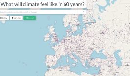
Agriculture is facing major challenges: On the one hand, it is severely impacted by biodiversity loss and the effects of climate change. On the other, agriculture itself massively contributes to these issues.How can digital solutions on fields and farms help to protect species, soil and the climate?
We present solutions for a digital-ecological transformation towards sustainable agriculture. Find out more.
How can digital solutions on fields and farms help to protect species, soil and the climate?
We present solutions for a digital-ecological transformation towards sustainable agriculture. Find out more.
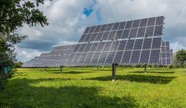
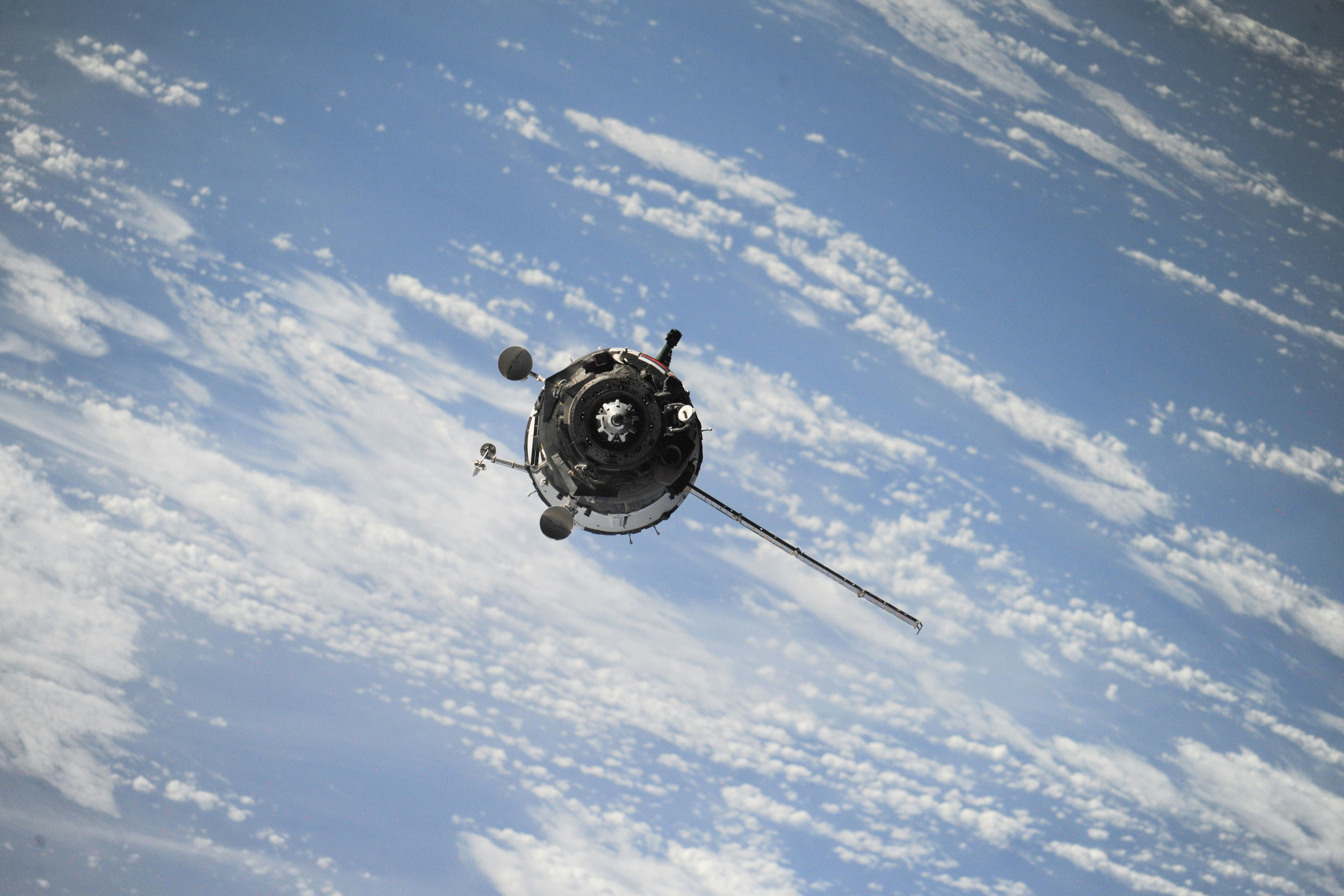
constellr—Small satellite constellation with a big impact
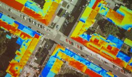
The startup constellr, a spin-off of Fraunhofer EMI, has been working on setting up a constellation of 16 small satellites in space since 2023. Each satellite is only about the size of a shoe box, and will take and then use surface temperature recordings to generate and analyse data. Information on water levels, heat islands and forest fires in particular is of interest to the agricultural sector.
The recordings are made with a new and highly precise thermal infrared measuring instrument called LisR. “From a satellite, the technology keeps an eye on the earth’s surface and detects the infrared radiation emitted from there, in other words, thermal radiation,” reports Cassi Welling from constellr. The technology is able to use this information to determine the health status and water requirements of crops. “While other solutions only model the land surface temperature, we measure the temperature of the leaf canopy or land surface of the vegetation directly. This allows us to make an accurate assessment of water availability versus water demand and recognise stress earlier than ever before,” Welling continues. This means that damage to crops can be averted by targeted irrigation even before a drought threatens.
This method makes it possible to optimise the irrigation of fields and simultaneously increase the crop yield per litre of water used. According to calculations, constellr is expected to save 180 million tonnes of water and 94 million tonnes of carbon dioxide per year, while increasing global crop yields by up to four percent. “More crop per drop” is the key objective here.
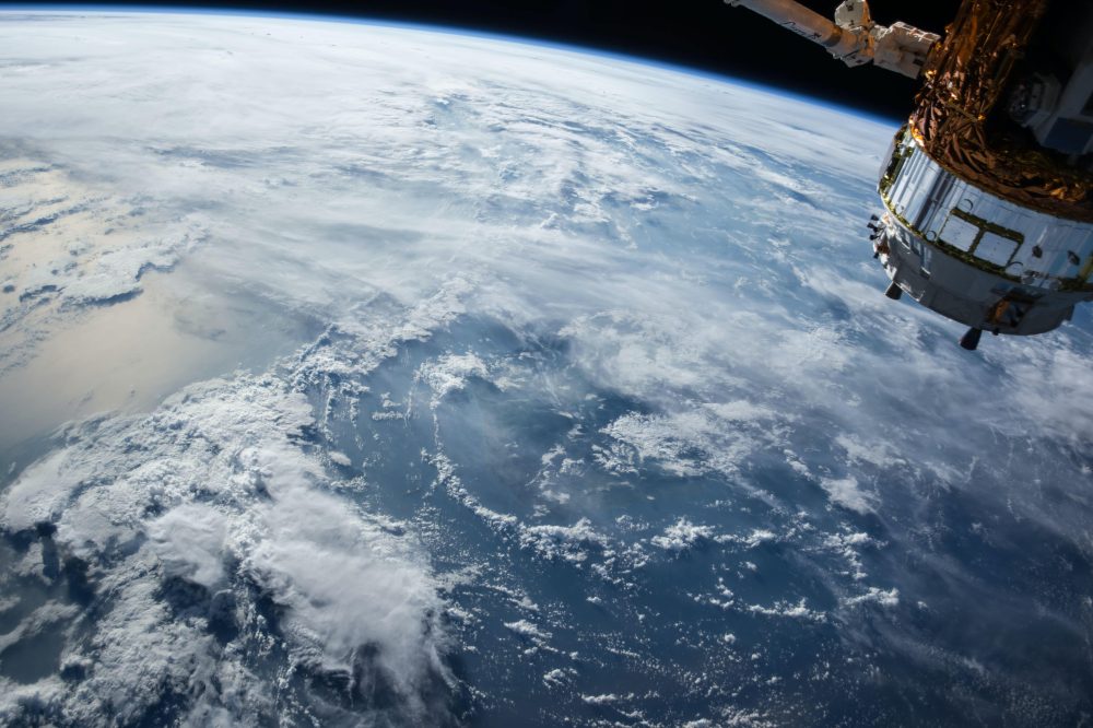
In summer 2022, constellr’s technology and LisR measuring instrument were tested for the first time on the International Space Station ISS. The test with around ten million images was extremely promising.
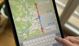
The data collected from the maps is accurate to within 50 metres. Later, in practice, they will be passed on to smart farming companies, who will then share the data and develop solutions with farmers.
The view from above
Does a lot of irrigation bring a lot of yield? Not necessarily. This common misconception is easy to fall for without any further background knowledge. Projects such as constellr show that needs-based and targeted irrigation is much more effective for a successful harvest than maximising water for crops. Of course, these important findings need to be straightforwardly communicated to farmers. An exchange between scientists and farmers with free access to current satellite images and data for an objective assessment and irrigation adjustment is a must to gain optimal results.
In the long term, as with many climate change problems, it is worth taking a wider look at the issue of drought in agriculture – both in terms of content and physical distance. The view from space helps us to understand the complex interrelationships of why low water levels prevail or why heat islands develop. Observed over a longer period, this makes it possible to identify efficient solutions for climate change-adapted agriculture and the careful use of water as a vital resource.